- Usage in publication:
-
- Jornada limestone
- Modifications:
-
- Original reference
- AAPG geologic province:
-
- Orogrande basin
Summary:
Pg. 2201 (table), fig. 2. Jornada limestone of Montoya group. Thickness ranges from fraction of a foot to 400 feet. Underlies Fusselman limestone; overlies Cable Canyon limestone. [No lithologic description included.] Age is Late Ordovician.
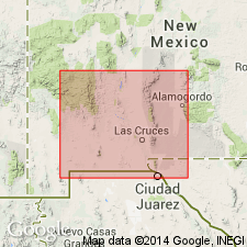
[Notable exposures near Sierrite Mine in Cable Canyon section (Flordillo Canyon), in T. 16 S., R. 4 W., approx. Lat. 32 deg. 55 min. 36 sec. N., Long. 107 deg. 13 min. 42 sec. W., Apache Gap 7.5-min quadrangle, Sierra Co., Caballo Mountains, southwestern NM (see also Kelley and Silver, 1952, pl. 4B, Seager and Mack, 2005, New Mexico Bur. Geol. Min. Res. Geol. Map, no. 74, scale 1:24,000).]
Source: US geologic names lexicon (USGS Bull. 1200, p. 1941).

- Usage in publication:
-
- Jornada limestone
- Modifications:
-
- Not used
- AAPG geologic province:
-
- Orogrande basin
Summary:
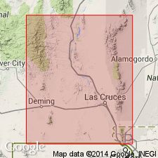
Pl. 4B. Jornada limestone of Kelley (1951, see Fig. 2) included rocks between Fusselman limestone and Cable Canyon sandstone. Rocks are herein subdivided into newly named (descending) Cutter formation, Aleman formation, and Upham dolomite (all of Montoya group).
Source: Publication.
For more information, please contact Nancy Stamm, Geologic Names Committee Secretary.
Asterisk (*) indicates published by U.S. Geological Survey authors.
"No current usage" (†) implies that a name has been abandoned or has fallen into disuse. Former usage and, if known, replacement name given in parentheses ( ).
Slash (/) indicates name conflicts with nomenclatural guidelines (CSN, 1933; ACSN, 1961, 1970; NACSN, 1983, 2005, 2021). May be explained within brackets ([ ]).

