- Usage in publication:
-
- Johns Creek Quarry Member
- Modifications:
-
- Named
- Dominant lithology:
-
- Dolomite
- AAPG geologic province:
-
- Iowa shelf
Summary:
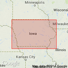
Hopkinton Dolomite, previously divided on the basis of paleontologic units, is here divided into lithologic members to facilitate interregional correlations based on sea-level curves. Rocks previously called the Bioherm beds of the Hopkinton are here named the Johns Creek Quarry Member in eastern IA. Consists of a patch-reef facies and an inter-reef facies, each having distinctly different lithologies and fossil content. Reef mounds in the patch-reef facies are tan, massive, micritic dolomite, 7 to 10 m thick; the inter-reef facies is cream to tan, medium-bedded, finely crystalline dolomite, 3 to 5 m thick. Overlies the Picture Rock Member and underlies the Welton Member, both new members of the Hopkinton. Age is Early Silurian (Llandoverian, Telychian).
Source: GNU records (USGS DDS-6; Reston GNULEX).

- Usage in publication:
-
- Johns Creek Quarry Member
- Modifications:
-
- Revised
- AAPG geologic province:
-
- Iowa shelf
Summary:
The Johns Creek Quarry, Welton, and Buck Creek Quarry Members, all new names of Johnson (1983), are here reassigned from the upper part of the Hopkinton Dolomite to the lower part of the Scotch Grove Formation (new name). The Scotch Grove is defined between the Hopkinton and the Gower Formation for the purpose of preserving the original definitions of these two units.
Source: GNU records (USGS DDS-6; Reston GNULEX).

- Usage in publication:
-
- Johns Creek Quarry Member
- Modifications:
-
- Areal extent
- AAPG geologic province:
-
- Wisconsin arch
- Iowa shelf
Summary:
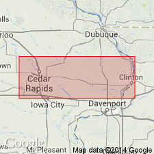
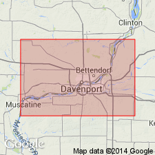
According to author, one of his primary aims in this report is to strongly encourage adoption of IA nomenclature in adjacent IL. The only major change is the incorporation of the Sweeney and Marcus as members within the Hopkinton and replacement of the Racine with upper members of the Hopkinton, the Scotch Grove Formation, and the Gower Formation. The Scotch Grove in the Quad Cities area is divided into the Johns Creek Quarry, Welton, and Waubeek Members. The Johns Creek Quarry Member is generally less than 10 ft thick and is characterized by dense sparsely fossiliferous dolomite in the study area. It sharply overlies the Hopkinton Formation and underlies the Welton Member.
Source: GNU records (USGS DDS-6; Reston GNULEX).
For more information, please contact Nancy Stamm, Geologic Names Committee Secretary.
Asterisk (*) indicates published by U.S. Geological Survey authors.
"No current usage" (†) implies that a name has been abandoned or has fallen into disuse. Former usage and, if known, replacement name given in parentheses ( ).
Slash (/) indicates name conflicts with nomenclatural guidelines (CSN, 1933; ACSN, 1961, 1970; NACSN, 1983, 2005, 2021). May be explained within brackets ([ ]).

