The National Geologic Map Database is migrating to a new infrastructure. We apologize for any service disruptions during this process.
|
|---|


- Usage in publication:
-
- Johnny Lyon granodiorite
- Modifications:
-
- Named
- Geochronologic dating
- Dominant lithology:
-
- Granodiorite
- AAPG geologic province:
-
- Southwestern Basin-and-Range region
Summary:
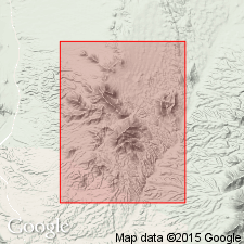
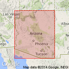
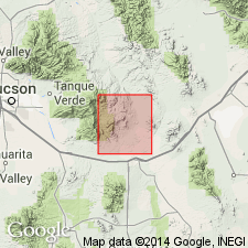
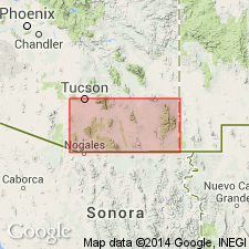
Of Johnny Lyon Hills, Cochise Co, AZ in the Southwestern Basin-and-Range region, about 50 mi east of Tucson, shown as 615 to 815 m.y. by Alpha-lead method. [Information taken from unpublished California Institute of Technology doctoral thesis of Leon T. Silver, 1955.] Is of Precambrian age.
Source: GNU records (USGS DDS-6; Denver GNULEX).
- Usage in publication:
-
- Johnny Lyon Granodiorite
- Modifications:
-
- Geochronologic dating
- AAPG geologic province:
-
- Southwestern Basin-and-Range region
Summary:
Unconformably overlain by younger Precambrian Apache Group. Based on uranium-lead method used on zircons believed to be 1,660 m.y. old. Is in the Southwestern Basin-and-Range region.
Source: GNU records (USGS DDS-6; Denver GNULEX).

- Usage in publication:
-
- Johnny Lyon granodiorite*
- Modifications:
-
- Overview
- AAPG geologic province:
-
- Southwestern Basin-and-Range region
Summary:
Forms a slightly zoned pluton with biotite predominant over hornblende. Intruded Pinal schist after deformation of Pinal. Mapped on west side of quad, Southwestern Basin-and-Range region. Consists of granodiorite that is uniform in mineral composition and texture, except for: 1) hybrid phase associated with inclusions; 2) pegmatites and aplites; 3) hydrothermal alteration zones; 4) wide variety of cataclastic modifications. These 4 phases make up 2 or 3 percent of total area of the exposed intrusive body. The main phase is medium- to coarse-grained, somewhat porphyritic, gray to gray-green hornblende-biotite granodiorite. Principal minerals are coarse white plagioclase, gray quartz, pink potassium feldspar, dark-green platy biotite, and greenish-black prismatic hornblende. The hybrid granodiorite is variable in texture and in composition; the amount of coarse hornblende is increased, and the amount of potassium feldspar and quartz decreased. Aplite and pegmatite dikes are great in number and small in size (600-800 ft long; 40-50 ft wide). Three nearly parallel bands of shearing and intense alteration 100 to 400 ft wide and 2.5 to nearly 5 mi characterized by a central shear zone, locally silicified, and a bordering envelope of granodiorite mapped. Many zones of sheared granodiorite formed during the Laramide. Age of 1,660 +/-30 m.y. U-Pb relations in zircons.
Source: GNU records (USGS DDS-6; Denver GNULEX).
- Usage in publication:
-
- Johnny Lyon Granodiorite*
- Modifications:
-
- Age modified
- Areal extent
- AAPG geologic province:
-
- Southwestern Basin-and-Range region
Summary:
Mapped on east and west sides of San Pedro River and extended with question to east edge of Rincon Mountains, Cochise Co, AZ in the Southwestern Basin-and-Range region. Age changed from early Precambrian to Precambrian Y age. Forms western half of small batholith which intrudes Continental Granodiorite.
Source: GNU records (USGS DDS-6; Denver GNULEX).
- Usage in publication:
-
- Johnny Lyon Granodiorite*
- Modifications:
-
- Age modified
- AAPG geologic province:
-
- Southwestern Basin-and-Range region
Summary:
Age changed from Precambrian Y in Cochise Co, AZ in the Southwestern Basin-and-Range region to Precambrian X with age of 1,630 m.y.
Source: GNU records (USGS DDS-6; Denver GNULEX).
For more information, please contact Nancy Stamm, Geologic Names Committee Secretary.
Asterisk (*) indicates published by U.S. Geological Survey authors.
"No current usage" (†) implies that a name has been abandoned or has fallen into disuse. Former usage and, if known, replacement name given in parentheses ( ).
Slash (/) indicates name conflicts with nomenclatural guidelines (CSN, 1933; ACSN, 1961, 1970; NACSN, 1983, 2005, 2021). May be explained within brackets ([ ]).