The National Geologic Map Database is migrating to a new infrastructure. We apologize for any service disruptions during this process.
|
|---|


- Usage in publication:
-
- Jenkins Peak Formation
- Modifications:
-
- Named
- Dominant lithology:
-
- Conglomerate
- Quartzite
- Sandstone
- Limestone
- Schist
- Slate
- AAPG geologic province:
-
- Great Basin province
Summary:
Pg. 12 (table 2). Table 2 is a stratigraphic section of Mountain City quadrangle by E.C. Stephens (1946, unpub. rept.). Jenkins Peak Formation consists of conglomerate, quartzite, sandstone, limestone, schists, and slates. Overlies Rio Tinto Formation with angular unconformity. May correlate with Banner Formation. Age is Paleozoic.
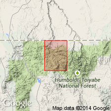
[Type locality not stated. Origin of name not stated.] Present in Elko Co., northern NV.
Source: US geologic names lexicon (USGS Bull. 1350, p. 370).
For more information, please contact Nancy Stamm, Geologic Names Committee Secretary.
Asterisk (*) indicates published by U.S. Geological Survey authors.
"No current usage" (†) implies that a name has been abandoned or has fallen into disuse. Former usage and, if known, replacement name given in parentheses ( ).
Slash (/) indicates name conflicts with nomenclatural guidelines (CSN, 1933; ACSN, 1961, 1970; NACSN, 1983, 2005, 2021). May be explained within brackets ([ ]).