- Usage in publication:
-
- Jellico formation
- Modifications:
-
- Original reference
- Dominant lithology:
-
- Shale
- Sandstone
- Coal
- AAPG geologic province:
-
- Appalachian basin
Summary:
Pg. 14, 18-21. Jellico formation. Applied to 500 or 600 feet of rocks overlying Briceville shale and underlying Scott shale in northern Tennessee coal field. The rocks occupying this position have previously been called Wartburg sandstone, but that name is a misnomer and has been so misapplied that it is discarded. The sandstone at Wartburg occupies stratigraphic position in lower part of Briceville shale, 30 or 40 feet beneath Poplar Creek or Oliver Springs coal. More than three-fourths of the Jellico is shale, but sandstones are more prominent in it than in either underlying Briceville or overlying Scott formation. The Pioneer sandstone is top member of formation and Smith coal (=Blue Gem coal) is basal member. Age is Pennsylvanian.
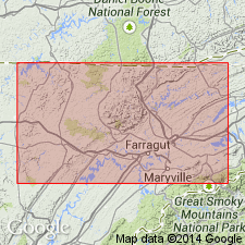
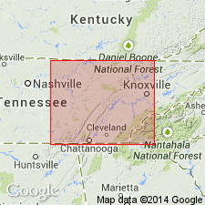
Named from occurrence of Jellico coal within the formation as its most prominent economic feature; in northern Tennessee coal field, northern TN.
Source: US geologic names lexicon (USGS Bull. 896, p. 726).

- Usage in publication:
-
- Jellico formation[†]
- Modifications:
-
- [Abandoned]
- AAPG geologic province:
-
- Appalachian basin
Summary:
Pg. 1. As a result of recent fieldwork, the names Briceville, Jellico, Scott, and Anderson are discontinued and complete new classification is presented.
[Abandoned. See Indian Bluff and Slatestone.]
Source: US geologic names lexicon (USGS Bull. 1200, p. 1919).
For more information, please contact Nancy Stamm, Geologic Names Committee Secretary.
Asterisk (*) indicates published by U.S. Geological Survey authors.
"No current usage" (†) implies that a name has been abandoned or has fallen into disuse. Former usage and, if known, replacement name given in parentheses ( ).
Slash (/) indicates name conflicts with nomenclatural guidelines (CSN, 1933; ACSN, 1961, 1970; NACSN, 1983, 2005, 2021). May be explained within brackets ([ ]).

