The National Geologic Map Database is migrating to a new infrastructure. We apologize for any service disruptions during this process.
|
|---|


- Usage in publication:
-
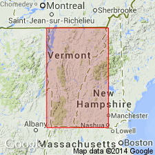
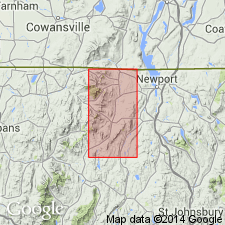
- Jay Peak formation
- Modifications:
-
- Revised
- AAPG geologic province:
-
- New England province
Summary:
The Jay Peak formation is listed in table 1 as part of the Camels Hump group.
Source: GNU records (USGS DDS-6; Reston GNULEX).
- Usage in publication:
-
- Jay Peak member
- Modifications:
-
- First used
- AAPG geologic province:
-
- New England province
Summary:
First used the Jay Peak member of the Underhill formation in north-central VT. Consists of pale, silver-green, quartz-sericite-chlorite-albite schist, locally quartzitic.
Source: GNU records (USGS DDS-6; Reston GNULEX).
- Usage in publication:
-
- Jay Peak formation*
- Modifications:
-
- Named
- Dominant lithology:
-
- Schist
- Quartzite
- Amphibolite
- AAPG geologic province:
-
- New England province
Summary:
Named the Jay Peak formation for Jay Peak, north-central VT. Consists of quartz-sericite-chlorite-albite schist, quartz-sericite-albite-chlorite quartzite, and a few beds of amphibolite. General absence of carbonaceous interbeds distinguishes these rocks from similar types in underlying Hazens Notch formation, with which the Jay Peak intergrades, and younger Ottauquechee formation. Apparent thickness is about 2500 feet at Burnt Mountain in town of Montgomery. Thins to extinction to east and south. The Jay Peak is of Early Cambrian age.
Source: GNU records (USGS DDS-6; Reston GNULEX).
For more information, please contact Nancy Stamm, Geologic Names Committee Secretary.
Asterisk (*) indicates published by U.S. Geological Survey authors.
"No current usage" (†) implies that a name has been abandoned or has fallen into disuse. Former usage and, if known, replacement name given in parentheses ( ).
Slash (/) indicates name conflicts with nomenclatural guidelines (CSN, 1933; ACSN, 1961, 1970; NACSN, 1983, 2005, 2021). May be explained within brackets ([ ]).