The National Geologic Map Database is migrating to a new infrastructure. We apologize for any service disruptions during this process.
|
|---|


- Usage in publication:
-
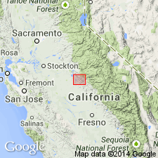
- Jasper Point Formation
- Modifications:
-
- Named
- AAPG geologic province:
-
- Sierra Nevada province
Summary:
Jasper Point Formation includes rocks exposed in the core of the Cotton Creek anticline in the southern part of the western Sierra Nevada metamorphic belt. Previously included in the revised Penon Blanco Formation, and cherts, here assigned to the Jasper Point Formation were informally called Hunter Valley chert by Taliaferro (1943). Consists of a stratified sequence of more than 900 m of massive, pillowed, and brecciated basalt overlain by 100 m of red, white, brown, and black, rhythmically layered radiolarian chert, both altered to prehnite or chlorite grade. Is interbedded with and gradationally underlies the Penon Blanco Formation. Age is Early Jurassic or older based on a radiometric age (U-Pb; zircon) from the Don Pedro pluton, which intrudes the Jasper Point Formation. (B1565)
Source: GNU records (USGS DDS-6; Menlo GNULEX).
For more information, please contact Nancy Stamm, Geologic Names Committee Secretary.
Asterisk (*) indicates published by U.S. Geological Survey authors.
"No current usage" (†) implies that a name has been abandoned or has fallen into disuse. Former usage and, if known, replacement name given in parentheses ( ).
Slash (/) indicates name conflicts with nomenclatural guidelines (CSN, 1933; ACSN, 1961, 1970; NACSN, 1983, 2005, 2021). May be explained within brackets ([ ]).