The National Geologic Map Database is migrating to a new infrastructure. We apologize for any service disruptions during this process.
|
|---|


- Usage in publication:
-
- Jamesburg formation
- Modifications:
-
- Named
- Dominant lithology:
-
- Loam
- Sand
- Gravel
- AAPG geologic province:
-
- Atlantic Coast basin
Summary:
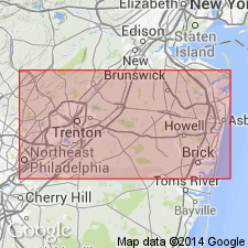
Jamesburg formation is the third yellow gravel. Consists of gravel, sand, and loam, loam perhaps most abundant. Includes pebbles from Beacon Hill gravel and from Pensauken. Not distinctly stratified. Thickness is 8 to 12 ft. Unconformably overlain by fourth yellow gravel formation, and unconformably underlain by Pensauken formation, the second yellow gravel formation. Well exposed in upper part of railway excavation near Jamesburg.
Source: GNU records (USGS DDS-6; Reston GNULEX).
For more information, please contact Nancy Stamm, Geologic Names Committee Secretary.
Asterisk (*) indicates published by U.S. Geological Survey authors.
"No current usage" (†) implies that a name has been abandoned or has fallen into disuse. Former usage and, if known, replacement name given in parentheses ( ).
Slash (/) indicates name conflicts with nomenclatural guidelines (CSN, 1933; ACSN, 1961, 1970; NACSN, 1983, 2005, 2021). May be explained within brackets ([ ]).