- Usage in publication:
-
- Jalama formation
- Modifications:
-
- Original reference
- Dominant lithology:
-
- Shale
- Sandstone
- AAPG geologic province:
-
- Santa Maria basin
Summary:
Pg. 23-24, 38 (fig. 2), pls. 1, 2. Jalama formation. Consists of about 4,000 feet of clay shales and sandstones overlying Espada formation (new) and disconformably underlying Eocene Anita shale. At type locality, 2,850 feet exposed; here relationship to overlying Anita shale is accordant. In Santa Rosa hills, overlain by Anita shale and Sierra Blanca limestone with angular unconformity of about 15 deg. Age is Late Cretaceous.
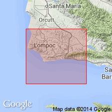
Type locality: divide between Santa Anita and Bulito Canyons, in the Santa Ynez Mountains, Santa Barbara Co., Southern CA.
Source: US geologic names lexicon (USGS Bull. 1200, p. 1908).
For more information, please contact Nancy Stamm, Geologic Names Committee Secretary.
Asterisk (*) indicates published by U.S. Geological Survey authors.
"No current usage" (†) implies that a name has been abandoned or has fallen into disuse. Former usage and, if known, replacement name given in parentheses ( ).
Slash (/) indicates name conflicts with nomenclatural guidelines (CSN, 1933; ACSN, 1961, 1970; NACSN, 1983, 2005, 2021). May be explained within brackets ([ ]).

