

- Usage in publication:
-
- Jackfork sandstone*
- Modifications:
-
- Original reference
- Dominant lithology:
-
- Sandstone
- Shale
- AAPG geologic province:
-
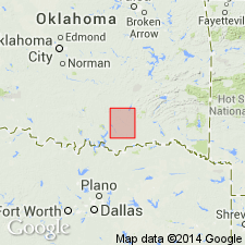
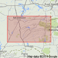
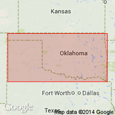
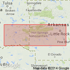
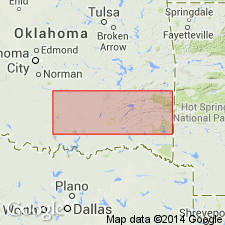
- Arkoma basin
- Ouachita folded belt
Summary:
Jackfork sandstone. Brown and drab sandstone, shaly sandstone, and thin sandstone, 3,800 feet thick. Overlies Standley shale.
Named from Jackfork Mountain, Pittsburg and Pushmataha Cos., OK.
Source: US geologic names lexicon (USGS Bull. 896, p. 1033-1034).
- Usage in publication:
-
- Jackfork sandstone*
- Modifications:
-
- Revised
Summary:
Pg. 289. Jackfork sandstone of Ouachita Mountains is 5,000 feet thick, overlies Standley shale and underlies Chaney shale [not true Chaney and now known as Johns Valley shale]. [Age is Pennsylvanian (Pottsville).]
Source: US geologic names lexicon (USGS Bull. 896, p. 1033-1034).
- Usage in publication:
-
- Jackfork sandstone
- Modifications:
-
- Revised
- Age modified
- Areal extent
Summary:
My own observations show that Jackfork sandstone of McCurtain County, Oklahoma, is 10,000 to 13,618 feet thick, provided whose section of sandstones above Stanley shale be included in one formation, and indeed there is no means of dividing it on lithological grounds, for upper part is in no wise different from lower part, and there is no large body of shale which might be taken for Caney or any formation resembling Atoka. The Jackfork grades into underlying Stanley shale. The Upper Jackfork, 7,000 feet thick, is apparently a sandy shoreward phase of Atoka formation, of Pennsylvanian age, and is separated from Lower Jackfork by Morrow beds equivalent to Wapanucka limestone of Arbuckle Mountains. The Lower Jackfork is 6,000 feet thick and overlies Stanley shale.
Source: US geologic names lexicon (USGS Bull. 896, p. 1033-1034).
- Usage in publication:
-
- Jackfork formation
- Modifications:
-
- Revised
- Age modified
Summary:
Pg. 36-37. Jackfork formation. There has been much controversy on age of Jackfork formation. A Morrow (lower Pennsylvanian) fauna has been found by Honess at base of his "Upper Jackfork" sandstone, which he correlates with Atoka formation. Miser therefore excludes "Upper Jackfork" of Honess from Jackfork formation and maps it as Atoka on State map. The true Jackfork sandstone is classified as Mississippian age by the USGS.
Source: US geologic names lexicon (USGS Bull. 896, p. 1033-1034).
- Usage in publication:
-
- Jackfork sandstone
- Modifications:
-
- Overview
Summary:
Pg. 11-12. Caney shale in its type locality (Johns Valley, formerly called Caney Basin or Cove, in upper Cane Creek Valley, 6 miles north of Eubanks, Pushmataha County, Oklahoma) rests on Jackfork sandstone. This relation holds in a fairly large part of Ouachita Mountains of Oklahoma, but Caney seems to overlap progressively both Jackfork and Stanley toward the northwest, in northern Atoka and southern Pittsburg Counties. If Caney does not overlap Stanley and Jackfork, it is possible, as suggested by Honess, that Stanley and Jackfork are = parts of Caney shale. In this latter case the Stanley and Jackfork wedge into the Caney laterally, and typical Caney shale that rests upon Jackfork sandstone may be one of southward-thinning beds of shale. The true relations of Caney, Jackfork, and Stanley will probably be discovered in time.
Source: US geologic names lexicon (USGS Bull. 896, p. 1033-1034).

- Usage in publication:
-
- Jackfork sandstone
- Modifications:
-
- Overview
Summary:
The Pennsylvanian rocks of the area south and east of Ti Valley-Choctaw belt of Ouachita Mountains of southeastern Oklahoma and western Arkansas are now divided by USGS into (descending): Atoka formation, 6,000 feet; Johns Valley shale, 0 to 1,000 feet; Stanley shale, 6,000 to 10,000 feet; and (in Hot Springs quadrangle, Arkansas) Hot Springs sandstone, 0 to 200 feet. In the Ti Valley-Choctaw belt of Ouachita Mountains, Oklahoma, the downward succession is Atoka formation, Wapanucka limestone, Springer formation, and Caney shale (now restricted to Mississippian part of rocks formerly called Caney shale). In Arkansas Valley of Arkansas the Atoka overlies Jackfork sandstone. (see H.D. Miser, 1934, AAPG Bull., v. 18, no. 8).
Source: US geologic names lexicon (USGS Bull. 896, p. 1033-1034).
- Usage in publication:
-
- Jackfork group
- Modifications:
-
- Revised
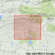
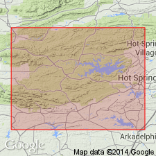
- AAPG geologic province:
-
- Ouachita folded belt
Summary:
Raised in rank to group--upper of two groups of the Pushmataha series (new) of the Bendian period. Is found in the Ouachita Mountains of OK in the Ouachita tectonic belt province. Best exposure in undisturbed sequence is in Prairie Mountain, T1S, R12E, Atoka Co, OK. This typically clastic deposit is divided into four newly named formations (ascending order); Wildhorse Mountain formation, Prairie Mountain formation, Markham Mill formation, and Wesley shale. Overlies Stanley group of Pushmataha series of the Bendian period; underlies Morrow series of Bendian period. Of Carboniferous age.
Source: GNU records (USGS DDS-6; Denver GNULEX).
- Usage in publication:
-
- Jackfork Group
- Modifications:
-
- Revised
- AAPG geologic province:
-
- Ouachita folded belt
- Arkoma basin
Summary:
Is a flysch deposit divided in western AR, Ouachita tectonic belt province and Arkoma basin, into the newly named Irons Fork Mountain (base) and Brushy Knob (top) Formations. The formations (5) of the Jackson Group in OK cannot be recognized in AR. Correlation chart; measured sections. Overlies Chickasaw Creek Formation, upper formation of Stanley Group. Lower contact placed at top of a siliceous shale (Chickasaw Creek) with a ridge-forming sandstone (Irons Fork Mountain). Underlies Johns Valley shale.
Source: GNU records (USGS DDS-6; Denver GNULEX).
- Usage in publication:
-
- Jackfork Group
- Modifications:
-
- Age modified
- AAPG geologic province:
-
- Ouachita folded belt
- Arkoma basin
Summary:
Age of Jackfork Group, and hence its Irons Fork Mountain and Brushy Knob Formations, is based on presence of Pitkin fossils (Mississippian) in reworked limestone boulders in underlying Chickasaw Creek Formation, upper formation of Stanley Group. Jackfork and its formations are thought to be of Morrowan or Early Pennsylvanian age, rather than Mississippian age, in western AR in the Ouachita tectonic belt province and in the Arkoma basin.
Source: GNU records (USGS DDS-6; Denver GNULEX).
For more information, please contact Nancy Stamm, Geologic Names Committee Secretary.
Asterisk (*) indicates published by U.S. Geological Survey authors.
"No current usage" (†) implies that a name has been abandoned or has fallen into disuse. Former usage and, if known, replacement name given in parentheses ( ).
Slash (/) indicates name conflicts with nomenclatural guidelines (CSN, 1933; ACSN, 1961, 1970; NACSN, 1983, 2005, 2021). May be explained within brackets ([ ]).