The National Geologic Map Database is migrating to a new infrastructure. We apologize for any service disruptions during this process.
|
|---|


- Usage in publication:
-
- Ivanhoe limestone member*
- Modifications:
-
- First used
- Dominant lithology:
-
- Limestone
- AAPG geologic province:
-
- Appalachian basin
- Piedmont-Blue Ridge province
Summary:
Mentions in text a thick limestone at the top of the Shady dolomite in the vicinity of Ivanhoe, Wythe Co., VA and calls it the Ivanhoe limestone member. This name was adopted from an unpublished manuscript by L.W. Currier.
Source: GNU records (USGS DDS-6; Reston GNULEX).
- Usage in publication:
-
- Ivanhoe limestone member
- Modifications:
-
- Named
- Dominant lithology:
-
- Limestone
- AAPG geologic province:
-
- Appalachian basin
- Piedmont-Blue Ridge province
Summary:
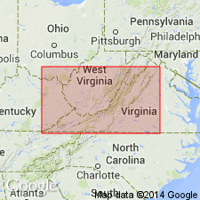
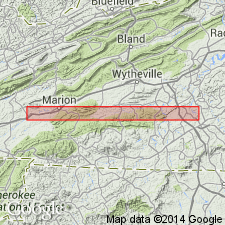
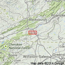
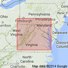
Named for exposures at and around Ivanhoe, Wythe Co., VA. Restricted as a recognizable unit in southwestern VA between Huddle and Galena, VA in Wythe Co. area. Unit is a thick body of limestone above saccharoidal dolomite member of Shady. This limestone body increases thickness of Shady by 500 feet. It is apparently a lenticular bed traceable for no more than 9 miles east and west of Ivanhoe. Composed of thick, massive beds of dense gray limestone containing a few relatively thin beds of light-gray to white dolomite, saccharoidal in part, and very thin reddish sandy and argillaceous partings. Shown on geologic section as Lower Cambrian; thickness 0 to 500 feet.
Source: GNU records (USGS DDS-6; Reston GNULEX).
- Usage in publication:
-
- Ivanhoe limestone member*
- Modifications:
-
- Revised
- AAPG geologic province:
-
- Appalachian basin
Summary:
Included Ivanhoe limestone member in lower part of the Rome formation (previously uppermost member of Shady dolomite). They believed this well bedded, fine-grained limestone and dolomite with thin reddish sandy and argillaceous partings resembled Rome more so than the underlying, massive Shady.
Source: GNU records (USGS DDS-6; Reston GNULEX).
- Usage in publication:
-
- Ivanhoe Member*
- Modifications:
-
- Revised
- AAPG geologic province:
-
- Appalachian basin
Summary:
Reassigned Ivanhoe Member from the Rome Formation to the Shady Dolomite, citing Pfeil and Read (1976, Reefal carbonates and associated lithologies, Cambrian Shady Dolomite, Austinville region, VA: GSA Abstracts w/ Programs, vol. 8, p. 244). This change is reflected on Table 1 and figure 8.
Source: GNU records (USGS DDS-6; Reston GNULEX).
For more information, please contact Nancy Stamm, Geologic Names Committee Secretary.
Asterisk (*) indicates published by U.S. Geological Survey authors.
"No current usage" (†) implies that a name has been abandoned or has fallen into disuse. Former usage and, if known, replacement name given in parentheses ( ).
Slash (/) indicates name conflicts with nomenclatural guidelines (CSN, 1933; ACSN, 1961, 1970; NACSN, 1983, 2005, 2021). May be explained within brackets ([ ]).