- Usage in publication:
-
- Ishpeming formation*
- Modifications:
-
- Named
- Dominant lithology:
-
- Quartzite
- Schist
- AAPG geologic province:
-
- Lake Superior region
Summary:
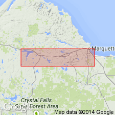
Is Algonkian formation (lowermost of 3) named at base of Upper Marquette series and mapped (pl XIII) in mostly continuous belt around a westward-plunging synclinorium extending west from Ishpeming, MI (Lake Superior region). Is named for typical exposures of the unit that surround (and underlie) the city of Ishpeming. Overlies Negaunee formation (new) of Lower Marquette series; overlain by Michigamme formation (new) or locally Clarksburg formation (new), both of Upper Marquette series. Comprises two divisions or formations [unranked units in context of present-day stratigraphic code, because formations cannot be divided into formations]: in eastern part of district predominant rocks are conglomeratic quartzite and quartzite and are called the Goodrich quartzite (new); in western part of district quartzite is present and equivalent to part of the Goodrich horizon, while a peculiar schist occurs in the lower part of the horizon and is called the Bijiki schist (new). Goodrich and Bijiki are not separately mapped, but are described in detail. Goodrich is about 1550 ft thick; Bijiki is about 520 ft thick.
Source: GNU records (USGS DDS-6; Reston GNULEX).
For more information, please contact Nancy Stamm, Geologic Names Committee Secretary.
Asterisk (*) indicates published by U.S. Geological Survey authors.
"No current usage" (†) implies that a name has been abandoned or has fallen into disuse. Former usage and, if known, replacement name given in parentheses ( ).
Slash (/) indicates name conflicts with nomenclatural guidelines (CSN, 1933; ACSN, 1961, 1970; NACSN, 1983, 2005, 2021). May be explained within brackets ([ ]).

