

- Usage in publication:
-
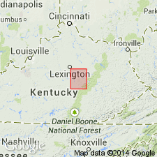
- Irvine formation*
- Modifications:
-
- Named
- Dominant lithology:
-
- Sand
- Gravel
- Clay
- AAPG geologic province:
-
- Cincinnati arch
Summary:
Name Irvine formation introduced in this report for unconsolidated sand, gravel, and clay capping the river hills in Richmond quad., central KY. Rests unconformably on Carboniferous rocks. Assigned to Neocene.
Source: GNU records (USGS DDS-6; Reston GNULEX).
- Usage in publication:
-
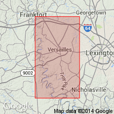
- Irvine formation
- Modifications:
-
- Age modified
- Biostratigraphic dating
- AAPG geologic province:
-
- Cincinnati arch
Summary:
Fragments of fossil bones and teeth of extinct mammals (a tapir, a horse, and a deer different from the modern species) have been found in deposits of Irvine formation. These seem to indicate a late Pliocene or early Pleistocene age for the unit.
Source: GNU records (USGS DDS-6; Reston GNULEX).
- Usage in publication:
-
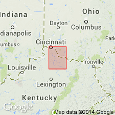
- Irvine Formation*
- Modifications:
-
- Overview
- AAPG geologic province:
-
- Cincinnati arch
Summary:
According to the author, Teays-age deposits of the Licking River in north-central KY are assigned a Pliocene to earliest Pleistocene age and are believed to be younger than the Irvine Formation, which occurs further south in central KY.
Source: GNU records (USGS DDS-6; Reston GNULEX).
For more information, please contact Nancy Stamm, Geologic Names Committee Secretary.
Asterisk (*) indicates published by U.S. Geological Survey authors.
"No current usage" (†) implies that a name has been abandoned or has fallen into disuse. Former usage and, if known, replacement name given in parentheses ( ).
Slash (/) indicates name conflicts with nomenclatural guidelines (CSN, 1933; ACSN, 1961, 1970; NACSN, 1983, 2005, 2021). May be explained within brackets ([ ]).