- Usage in publication:
-
- Ironton granite
- Modifications:
-
- Named
- Dominant lithology:
-
- Granite
- AAPG geologic province:
-
- Midcontinent region
Summary:
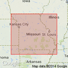
Named to describe fine-grained, red granite that occurs in two outcrops west of Ironton, for which unit probably named, Iron Co, MO, Midcontinent region. No type locality designated. Apparently related to fine-grained granites in two outcrops near Hogan, Iron Co and to fine-grained granite that occurs between Fredericktown and Knoblick, respectively in Madison and St. Francois Cos, MO. Granite was intruded after intrusion of red felsite east of Ironton and before intrusion of granite porphyry which occurs on Edgehill, Mine La Motte, and Higdon quads; intruded before iron deposits formed on Pilot Knob, Cedar Hill, and Iron, Shephard, Shut-in, and Buford Mountains. Pre-Cambrian age.
Source: GNU records (USGS DDS-6; Denver GNULEX).
For more information, please contact Nancy Stamm, Geologic Names Committee Secretary.
Asterisk (*) indicates published by U.S. Geological Survey authors.
"No current usage" (†) implies that a name has been abandoned or has fallen into disuse. Former usage and, if known, replacement name given in parentheses ( ).
Slash (/) indicates name conflicts with nomenclatural guidelines (CSN, 1933; ACSN, 1961, 1970; NACSN, 1983, 2005, 2021). May be explained within brackets ([ ]).

