- Usage in publication:
-
- Ironton member
- Modifications:
-
- Named
- Dominant lithology:
-
- Sandstone
- AAPG geologic province:
-
- Wisconsin arch
Summary:
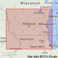
Ironton described as a few feet of hard calcareous coarse-grained sandstone forming basal member of Franconia formation in southwest WI.
Source: GNU records (USGS DDS-6; Reston GNULEX).

- Usage in publication:
-
- Ironton sandstone member
- Modifications:
-
- Overview
- AAPG geologic province:
-
- Wisconsin arch
Summary:
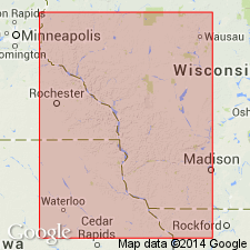
Ironton sandstone member is basal sandstone of Franconia formation in southwest WI. Has been recognized and studied at many places in Sauk, Richland, Vernon, La Crosse, Monroe, Jackson, Adams, and Juneau Cos., where it varies in thickness from about 2 ft to 12 or possibly 15 ft. At Ironton, the type locality, it varies from 5 to 10 ft. The member is composed mainly of reworked, washed and relatively coarse residual grains of Dresbach sandstone, the surface of which had previously been subjected to subaerial leaching and wear. It extends downward to lowest plane indicating reworking and redeposition of the weather-loosened top sands of underlying Dresbach formation. It commonly includes a few grains of glauconite and other material that is not present in undisturbed underlying beds of Dresbach sandstone. Ironton member is best recognized by its characteristic fossils. Dresbach contains no organic remains, with the exception of worm burrows.
Source: GNU records (USGS DDS-6; Reston GNULEX).

- Usage in publication:
-
- Ironton Member
- Modifications:
-
- Overview
- AAPG geologic province:
-
- Wisconsin arch
Summary:
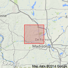
The natural cliff next to Hwy 58 at the north edge of the village of Ironton is here considered to be the type section. Berg's Woodhhill member type section in Juneau Co. is now considered a reference section of the Ironton. Top and bottom boundaries controversial, hence unit description varies among authors. In northern Sauk Co. authors describe the Ironton as fine to medium quartz sand, the grains more angular than those of the Galesville. Slightly fossiliferous, often bioturbated. Sand grains commonly coated with iron oxide, producing a brown, yellowish-brown, or reddish-brown color. As identified in this report, unit is generally a few meters thick in northern Sauk Co. and less than 1 m thick in southern Sauk Co.
Source: GNU records (USGS DDS-6; Reston GNULEX).
For more information, please contact Nancy Stamm, Geologic Names Committee Secretary.
Asterisk (*) indicates published by U.S. Geological Survey authors.
"No current usage" (†) implies that a name has been abandoned or has fallen into disuse. Former usage and, if known, replacement name given in parentheses ( ).
Slash (/) indicates name conflicts with nomenclatural guidelines (CSN, 1933; ACSN, 1961, 1970; NACSN, 1983, 2005, 2021). May be explained within brackets ([ ]).

