

- Usage in publication:
-
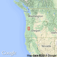
- Irish Bend Member
- Modifications:
-
- Named
- Dominant lithology:
-
- Silt
- Clay
- AAPG geologic province:
-
- Cascades province
Summary:
Named as second from lowermost member (of 4) of Willamette Formation [Silt]. Type locality designated as cutbank of Willamette River at Irish Bend, center sec.7 T14S R4W, Linn Co, OR. Consists of brown silt with clay. Thickness ranges from 0 to 4.3 m. Overlies Wyatt member (new) of Willamette Silt or Diamond Hill Member (new) of Rowland Formation (new). Unconformably underlies Malpass or Greenback Member (both new) of Willamette Silt. Age given as late Pleistocene.
Source: GNU records (USGS DDS-6; Menlo GNULEX).
For more information, please contact Nancy Stamm, Geologic Names Committee Secretary.
Asterisk (*) indicates published by U.S. Geological Survey authors.
"No current usage" (†) implies that a name has been abandoned or has fallen into disuse. Former usage and, if known, replacement name given in parentheses ( ).
Slash (/) indicates name conflicts with nomenclatural guidelines (CSN, 1933; ACSN, 1961, 1970; NACSN, 1983, 2005, 2021). May be explained within brackets ([ ]).