The National Geologic Map Database is migrating to a new infrastructure. We apologize for any service disruptions during this process.
|
|---|


- Usage in publication:
-
- Inskip formation*
- Modifications:
-
- Original reference
- Dominant lithology:
-
- Quartzite
- Slate
- Limestone
- AAPG geologic province:
-
- Great Basin province
Summary:
Also, 1951, Geology of the Winnemucca quadrangle, Nevada: USGS Geol. Quad. Map [GQ-11]. Inskip formation. Lower half, mostly quartzite and slate with thin beds of limestone, some chert, a few greenstone flows, some graywacke, conglomerate, and quartzitic grit. Upper half, thin-bedded limestone interbedded with siliceous and calcareous slate and quartzite. Thickness more than 9,000 feet at type locality. Underlies Tallman fanglomerate (new) and Koipato formation with angular unconformities. Age is Mississippian(?).
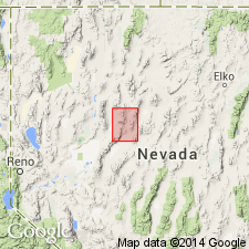
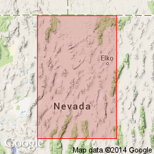
Type locality: Inskip Canyon, west flank of East Range, Winneumcca quadrangle, north-central NV.
Source: US geologic names lexicon (USGS Bull. 1200, p. 1871).
- Usage in publication:
-
- Inskip formation*
- Modifications:
-
- Overview
- AAPG geologic province:
-
- Great Basin province
Summary:
Pg. 2848. Throughout most of outcrop area Inskip and Leach formations are in fault contact, and their stratigraphic relations are not definitely known. The Leach appears to underlie the Inskip. [Age is] probably Late Mississippian.
Source: US geologic names lexicon (USGS Bull. 1200, p. 1871).
For more information, please contact Nancy Stamm, Geologic Names Committee Secretary.
Asterisk (*) indicates published by U.S. Geological Survey authors.
"No current usage" (†) implies that a name has been abandoned or has fallen into disuse. Former usage and, if known, replacement name given in parentheses ( ).
Slash (/) indicates name conflicts with nomenclatural guidelines (CSN, 1933; ACSN, 1961, 1970; NACSN, 1983, 2005, 2021). May be explained within brackets ([ ]).