The National Geologic Map Database is migrating to a new infrastructure. We apologize for any service disruptions during this process.
|
|---|


- Usage in publication:
-
- Inola limestone
- Modifications:
-
- Original reference
- Dominant lithology:
-
- Limestone
- AAPG geologic province:
-
- Chautauqua platform
Summary:
[Pg. 34.] Inola limestone. A limestone in lower part of Boggy shale, occurring in black shale interval between salt sand or Enterprise [Bluejacket] sandstone of Okmulgee underground and upper Earlsboro or Red Fork sand of Seminole underground.
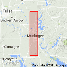
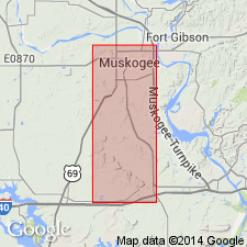
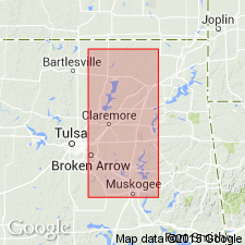
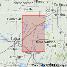
Named from an outlier on a hill to the east of the town of Inola, [Rogers Co.], northeastern OK.
[Inola Hill, in sec. 10, T. 19 N., R. 17 E., approx. Lat. 36 deg. 08 min. 43 sec. N., Long. 95 deg. 29 min. 17 sec. W., Inola 7.5-min quadrangle, Rogers Co., OK (USGS GNIS database and ACME Mapper 2.0, accessed November 9, 2010).]
Source: US geologic names lexicon (USGS Bull. 896, p. 1014).
- Usage in publication:
-
- Inola limestone member*
- Modifications:
-
- Revised
- AAPG geologic province:
-
- Chautauqua platform
Summary:
Pg. 503-520. Inola limestone member of Boggy shale. Treated this limestone as a member of Boggy shale; gave its thickness as 0 to 10 inches; and showed that it lies 80 to 150 feet below Taft sandstone member, 40+/- feet above Bluejacket sandstone member, and 10 feet above Crekola sandstone member. Fossiliferous. Age is Pennsylvanian. Report includes geologic map, columnar sections, measured sections.
Source: US geologic names lexicon (USGS Bull. 896, p. 1014); supplemental information from GNU records (USGS DDS-6; Denver GNULEX).
- Usage in publication:
-
- Inola limestone member*
- Modifications:
-
- Revised
- Biostratigraphic dating
- AAPG geologic province:
-
- Chautauqua platform
Summary:
Pg. 12, 16 (fig. 2). Inola limestone member of Boggy formation of Krebs group. Immediately above Bluejacket sandstone member is sequence of four cyclical units, each containing zone of marine fossils. Cap rock limestone of lowest of these cycles contains abundant fusulinids. Name Inola here restricted to lowest limestone, the only one that yields fusulinids (collections from western Mayes County, northeastern Oklahoma). Fusulinids reported from Inola at type locality, Inola Mound (citing Charles Ryniker, 1953, pers. commun.). Age is Middle Pennsylvanian (Desmoinesian). (Krebs group of M.C. Oakes, 1953, AAPG Bull., v. 37, p. 1523.)
Source: Publication; US geologic names lexicon (USGS Bull. 1200, p. 1870-1871).
- Usage in publication:
-
- Inola coal cycle
- Modifications:
-
- Revised
- AAPG geologic province:
-
- Chautauqua platform
Summary:
Pg. 6; [see also "Outline of Desmoinesian stratigraphy," Oklahoma Geol. Survey Circ., no. 31, 1954, p. 8-10]. Referred to as Inola coal cycle.
Source: US geologic names lexicon (USGS Bull. 1200, p. 1870-1871).
For more information, please contact Nancy Stamm, Geologic Names Committee Secretary.
Asterisk (*) indicates published by U.S. Geological Survey authors.
"No current usage" (†) implies that a name has been abandoned or has fallen into disuse. Former usage and, if known, replacement name given in parentheses ( ).
Slash (/) indicates name conflicts with nomenclatural guidelines (CSN, 1933; ACSN, 1961, 1970; NACSN, 1983, 2005, 2021). May be explained within brackets ([ ]).