

- Usage in publication:
-
- Indian Well Formation*
- Modifications:
-
- Named
- Dominant lithology:
-
- Tuff
- Sandstone
- Limestone
- Conglomerate
- AAPG geologic province:
-
- Great Basin province
Summary:
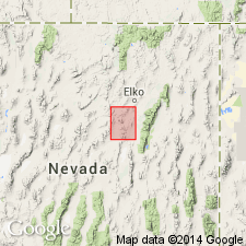
Named for water well in SE 1/4 sec.30 T31N R55E, Elko Co, NV. Composite type section designated as secs.2-3 T30N R54E, sec.25 T31N R54E, and secs.29-30 T31N R55E, Dixie Flats quad, Elko Co, NV. Four informal units of (1) tuffaceous sedimentary strata, (2) ash-flow tuff, (3) tuffaceous sedimentary rocks, and (4) interlayered ash-flow tuff are mapped. Consists of tan, gray, white, purple sandstones, limestones, conglomerates, and tuff. Composite section is 1015 m thick. Origin is lacustrine and fluviatile. Unconformably overlies older Tertiary (including Elko Formation), Jurassic, and Paleozoic rocks. Unconformably underlies Quaternary alluvium or locally underlies younger Tertiary rocks (including Humboldt Formation). Is Oligocene age.
Source: GNU records (USGS DDS-6; Menlo GNULEX).

- Usage in publication:
-
- Indian Well Formation*
- Modifications:
-
- Geochronologic dating
- AAPG geologic province:
-
- Great Basin province
Summary:
Pg. 22, geologic time scale (inside front cover). Indian Well Formation. Sample from basal lapilli-tuff, in Carlin quadrangle, Eureka County, Nevada, yielded a K-Ar age of 38.5 +/-1.3 Ma (biotite), representing time of volcanism; previously published age 37.6 Ma (Smith and Ketner, 1976) recalculated. Sample from glassy tuff in Elko East quadrangle, Elko County, Nevada, yielded a fission-track age of 27.0 +/-1.2 Ma (zircon), representing time of volcanism. Ages calculated using decay constants of Steiger and Jager (1977). [Eocene to Oligocene, based on time scale of Berggren, 1972, Lethaia, v. 5, no. 2, p. 195-215.]
Source: Publication.
- Usage in publication:
-
- Indian Well Formation*
- Modifications:
-
- Areal extent
- AAPG geologic province:
-
- Great Basin province
Summary:
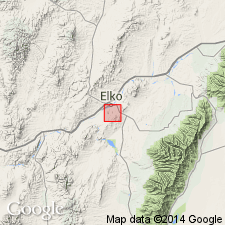
Geographically extended to lithologically similar rocks near Elko, NV.
Source: GNU records (USGS DDS-6; Menlo GNULEX).
- Usage in publication:
-
- Indian Well Formation*
- Modifications:
-
- Revised
- AAPG geologic province:
-
- Great Basin province
Summary:
Stratigraphically restricted so as to exclude a unit of ash-flow tuff at its top. As so restricted, name, Indian Well Formation, applies to sedimentary rocks of lacustrine or fluvial origin.
Source: GNU records (USGS DDS-6; Menlo GNULEX).
For more information, please contact Nancy Stamm, Geologic Names Committee Secretary.
Asterisk (*) indicates published by U.S. Geological Survey authors.
"No current usage" (†) implies that a name has been abandoned or has fallen into disuse. Former usage and, if known, replacement name given in parentheses ( ).
Slash (/) indicates name conflicts with nomenclatural guidelines (CSN, 1933; ACSN, 1961, 1970; NACSN, 1983, 2005, 2021). May be explained within brackets ([ ]).