

- Usage in publication:
-
- Indian Peak Formation
- Modifications:
-
- Named
- Dominant lithology:
-
- Tuff
- Sandstone
- AAPG geologic province:
-
- Great Basin province
Summary:
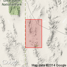
Named for Indian Peak, Beaver Co, UT in the Great Basin province. Type section is located in the southwestern portion of T29S, R18W, along the northeastern flank of Indian Peak. Occupies an area of about 25 sq mi in the Great Basin province. Divided into four members. Lowest member, "Unit 1", is a coarse-grained, red-brown to gray-green vitric crystal phenodacite tuff with biotite books more than 5 mm wide and 3 mm thick. Type section for "Unit 1" designated in SW1/4 sec 6, T28S, R18W, where it is about 125 ft thick. "Unit 2" is a vitric phenoandesite tuff about 100 to 200 ft thick. "Unit 3" is a volcanic sandstone enclosing a thin ignimbrite. Type section for "Unit 3" is in SE1/4 sec 5, T29S, R18W. "Unit 4" is an ignimbrite triplet 110 ft thick at the type section (S1/2 sec 31, T28S, R19W). Overlies unnamed volcanic rocks; underlies Wah Wah Springs Member of Needles Range Formation at its type. Assigned an Oligocene age.
Source: GNU records (USGS DDS-6; Denver GNULEX).
- Usage in publication:
-
- Indian Peak Formation†
- Modifications:
-
- Abandoned
Summary:
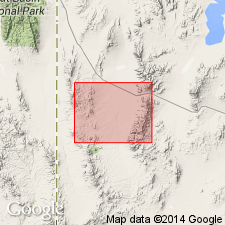
Abandoned. Was presumably the lowest of three pre-Needles Range age volcanic rocks. Has been determined that the units mapped by Conrad (1969) as pre-Needles Range are actually Needles Range age or younger.
Source: GNU records (USGS DDS-6; Denver GNULEX).
For more information, please contact Nancy Stamm, Geologic Names Committee Secretary.
Asterisk (*) indicates published by U.S. Geological Survey authors.
"No current usage" (†) implies that a name has been abandoned or has fallen into disuse. Former usage and, if known, replacement name given in parentheses ( ).
Slash (/) indicates name conflicts with nomenclatural guidelines (CSN, 1933; ACSN, 1961, 1970; NACSN, 1983, 2005, 2021). May be explained within brackets ([ ]).