The National Geologic Map Database is migrating to a new infrastructure. We apologize for any service disruptions during this process.
|
|---|


- Usage in publication:
-
- Indian Lakes formation*
- Modifications:
-
- Named
- Dominant lithology:
-
- Alluvium
- Sand
- AAPG geologic province:
-
- Great Basin province
Summary:
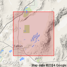
Named as intertonguing unit with Sehoo Formation (new) of Lahontan Valley group (new). Type locality designated in western part of Indian Lakes area, SE/4 T20N R29E and SW/4 T20N R30E, Churchill Co, NV, where two ancient river-distributary channels are composed of alluvial sand of unit. Consists of alluvium, colluvium, and some eolian sand and shallow-lake sediments as much as 15 ft thick. Has three tongues. Lower intercalated between middle Lake Lahontan soil and lower tongue of Sehoo Formation; middle intercalated between lower and middle tongues of Sehoo, to at least 3,390 ft elevation; upper intercalated between middle and upper tongues of Sehoo, to at least 3900 ft elevation. Overlies Wyemaha formation; underlies Turupah formation (both new and of Lahontan Valley group). Age of group is late Pleistocene.
Source: GNU records (USGS DDS-6; Menlo GNULEX).
- Usage in publication:
-
- Indian Lakes formation*
- Modifications:
-
- Adopted
- Overview
- AAPG geologic province:
-
- Great Basin province
Summary:
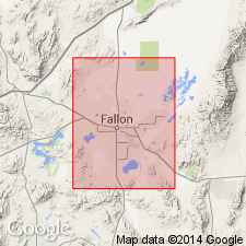
Indian Lakes formation of Lahontan Valley group adopted for non-lacustrine deposits coeval with and intertonguing with lacustrine deposits of Sehoo formation (Lahontan Valley group). Detailed descriptions of unit and informal tongues. Lists of fossils of Sehoo and Indian Lakes age included. Shown on geologic maps of Stillwater, Fallon, and Carson Lake 15' quads as Pleistocene age.
Source: GNU records (USGS DDS-6; Menlo GNULEX).
- Usage in publication:
-
- Indian Lakes Alloformation
- Modifications:
-
- Redescribed
- AAPG geologic province:
-
- Great Basin province
Summary:
Indian Lakes Formation of Morrison (1961) redescribed as Indian Lakes Alloformation as defined in 1983 North American Stratigraphic Code. Coeval alluvium of unit overlies and interfingers with upper member of Sehoo Alloformation in Wadsworth Amphitheatre. [Thus age of Pleistocene and Holocene is inferred in stratigraphic chart.]
Source: GNU records (USGS DDS-6; Menlo GNULEX).
For more information, please contact Nancy Stamm, Geologic Names Committee Secretary.
Asterisk (*) indicates published by U.S. Geological Survey authors.
"No current usage" (†) implies that a name has been abandoned or has fallen into disuse. Former usage and, if known, replacement name given in parentheses ( ).
Slash (/) indicates name conflicts with nomenclatural guidelines (CSN, 1933; ACSN, 1961, 1970; NACSN, 1983, 2005, 2021). May be explained within brackets ([ ]).