- Usage in publication:
-
- Ilyirak Gravel*
- Modifications:
-
- Named
- Dominant lithology:
-
- Gravel
- AAPG geologic province:
-
- Alaska Northern region
Summary:
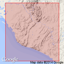
Named for gravel deposit in Ilyirak Creek, southwest side of Lisburne Peninsula, AK. Unit is oldest of unconsolidated deposits of gravel that mantles upper flanks on south side of Kukpuk River valley from its junction with Ipewik River west to drainage of Ilyriak Creek. Gravel covers relatively continuous area between altitudes of about 150 and 300 ft. Ranges in thickness from 0 to more than 20 ft (observed in one streamcut where base was not exposed). Shown on geologic map of area in vicinity of Chariot site, Lisburne Peninsula. Inferred that age is Yarmouth or older and may be as old as late Tertiary. Herein assigned Tertiary or Quaternary age. Older than Saligvik Gravel (new).
Source: GNU records (USGS DDS-6; Menlo GNULEX).
For more information, please contact Nancy Stamm, Geologic Names Committee Secretary.
Asterisk (*) indicates published by U.S. Geological Survey authors.
"No current usage" (†) implies that a name has been abandoned or has fallen into disuse. Former usage and, if known, replacement name given in parentheses ( ).
Slash (/) indicates name conflicts with nomenclatural guidelines (CSN, 1933; ACSN, 1961, 1970; NACSN, 1983, 2005, 2021). May be explained within brackets ([ ]).

