The National Geologic Map Database is migrating to a new infrastructure. We apologize for any service disruptions during this process.
|
|---|


- Usage in publication:
-
- Ijamsville phyllite*
- Modifications:
-
- Named
- Dominant lithology:
-
- Phyllite
- Slate
- AAPG geologic province:
-
- Piedmont-Blue Ridge province
Summary:
Name Ijamsville phyllite proposed for blue, green, or purple phyllitic slate probably of tuffaceous origin. Unit is part of a volcanic series including green metabasalt, blue meta-andesite, and purplish-red aporhyolite flows. In part, contains flattened amygdaloidal blebs, but in many places close folding and metamorphism have obscured its volcanic character. In places, is infolded with Silver Run limestone (new). Lies to west of Marburg schist (new) and may be in part equivalent to it. Precambrian(?)
Source: GNU records (USGS DDS-6; Reston GNULEX).
- Usage in publication:
-
- Ijamsville phyllite*
- Modifications:
-
- Overview
- Areal extent
- AAPG geologic province:
-
- Piedmont-Blue Ridge province
Summary:
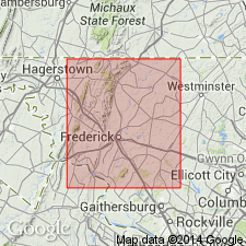
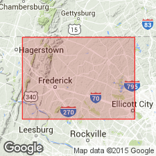
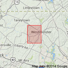
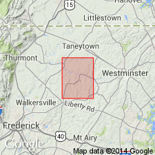
In vicinity of Shriver's Mill, phyllite is bordered on southeast by Wissahickon albite-chlorite schist and west and southwest of Taylorsville by Marburg schist. From point near New Windsor westward to Bark Hill, band of phyllite follows north border of Sams Creek metabasalt (new) and Wakefield marble. In region southwest of Union Bridge, phyllite is folded with the metabasalt and Libertyville metarhyolite (new). Near Ijamsville and Moravia, the Ijamsville is surrounded by Urbana phyllite. Along western edge of Martic overthrust block, east of Frederick Valley, phyllite forms narrow belt that extends from vicinity of Ladiesburg, at border of Triassic rocks, southwestward to Monocacy River. Sugarloaf Mountain syncline encloses Urbana phyllite and associated quartzites, and Sugarloaf Mountain quartzite. Syncline is overturned to northwest and beds dip southeast.
Source: GNU records (USGS DDS-6; Reston GNULEX).
- Usage in publication:
-
- Ijamsville
- Modifications:
-
- Not used
- AAPG geologic province:
-
- Piedmont-Blue Ridge province
Summary:
Phyllites of Sugarloaf area, which have been considered volcanic members of Glenarm series (Stose and Stose, 1946), are Harpers phyllite. This conclusion based on structural evidence that local stratigraphic section is reverse of that previously reported and therefore section shows same sequence of beds as known Cambrian section 8 mi to the west. Stose and Stose, who considered area to be a syncline, divided phyllite [Harpers] into Ijamsville and Urbana phyllites. Although this division may be valid, it is difficult to map the contacts accurately and both units are considered to be part of the Harpers.
Source: GNU records (USGS DDS-6; Reston GNULEX).
- Usage in publication:
-
- Ijamsville Phyllite*
- Modifications:
-
- Revised
- AAPG geologic province:
-
- Piedmont-Blue Ridge province
Summary:
Ijamsville Phyllite excluded form Glenarm Series.
Source: GNU records (USGS DDS-6; Reston GNULEX).
- Usage in publication:
-
- Ijamsville Phyllite*
- Modifications:
-
- Areal extent
- Revised
- AAPG geologic province:
-
- Piedmont-Blue Ridge province
Summary:
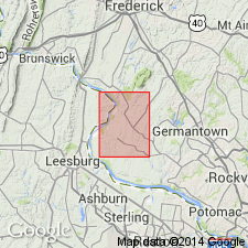
Unit geographically and stratigraphically extended northeastward from MD into southeastern PA to include rocks of former Marburg Schist (now abandoned).
Source: GNU records (USGS DDS-6; Reston GNULEX).
- Usage in publication:
-
- Ijamsville Formation
- Modifications:
-
- Age modified
- AAPG geologic province:
-
- Piedmont-Blue Ridge province
Summary:
Unit, referred to here as Formation rather than Phyllite, consists of intermixed layers of lustrous to dull, purple to reddish-gray hematitic muscovite phyllite and tan to green chlorite-muscovite phyllite. The Ijamsville is thoroughly deformed; thickness unknown. Probably part of western equivalent of Gillis Formation (new). Correlates with Harpers and Antietam Formations of Early Cambrian age.
Source: GNU records (USGS DDS-6; Reston GNULEX).
- Usage in publication:
-
- Ijamsville Phyllite*
- Modifications:
-
- Revised
- AAPG geologic province:
-
- Piedmont-Blue Ridge province
Summary:
Marburg Schist was abandoned by Fisher (1978) and its rocks reassigned to Ijamsville Phyllite. However, recent mapping has shown that Marburg and Ijamsville are lithologically distinct, separately mappable units. Ijamsville is characterized by purple phyllite, and Marburg is a mixed unit. Marburg is here reinstated as Marburg Formation, with the rank term changed to reflect varying lithology of phyllites, greenstone, siltstone, quartzite, and graywacke.
Source: GNU records (USGS DDS-6; Reston GNULEX).
- Usage in publication:
-
- Ijamsville Phyllite*
- Modifications:
-
- Age modified
- AAPG geologic province:
-
- Piedmont-Blue Ridge province
Summary:
Based on stratigraphic interpretation, the age of the Ijamsville Phyllite is changed to Late Proterozoic(?) and Early Cambrian(?). Consists of dusky blue, grayish blue, very dusky red purple, greenish gray to pale olive phyllite and phyllonite with abundant quartz veins and minor slate. Also contains aphanitic to porphyritic greenstone and yellowish gray, fine- to medium-grained sericitic quartzite.
Source: GNU records (USGS DDS-6; Reston GNULEX).
For more information, please contact Nancy Stamm, Geologic Names Committee Secretary.
Asterisk (*) indicates published by U.S. Geological Survey authors.
"No current usage" (†) implies that a name has been abandoned or has fallen into disuse. Former usage and, if known, replacement name given in parentheses ( ).
Slash (/) indicates name conflicts with nomenclatural guidelines (CSN, 1933; ACSN, 1961, 1970; NACSN, 1983, 2005, 2021). May be explained within brackets ([ ]).