The National Geologic Map Database is migrating to a new infrastructure. We apologize for any service disruptions during this process.
|
|---|


- Usage in publication:
-
- Hyder quartz monzonite*
- Modifications:
-
- Named
- Dominant lithology:
-
- Quartz monzonite
- AAPG geologic province:
-
- Alaska Southeastern region
Summary:
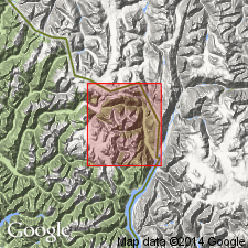
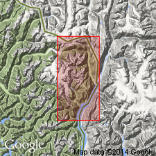
Named for exposures at Hyder and along Salmon River road northward to Fish Creek, southeastern AK. Forms belt 10 to 14 mi wide and 25 mi long between Portland Canal and Chickamin River. Quartz monzonite is part of northeastern border section of Coast Range batholith. Is massive medium-grained rock with very inconspicuous gneissic structure. Contact with Texas Creek granodiorite (new) strikes northwest across valley about 0.75 mi from foot of Thumb Glacier. To the south Hyder passes into granodiorite of Coast Range batholith. Shown on geologic map of Hyder district as of Jurassic or Cretaceous age.
Source: GNU records (USGS DDS-6; Menlo GNULEX).
- Usage in publication:
-
- Hyder Quartz Monzonite*
- Modifications:
-
- Age modified
- Geochronologic dating
- AAPG geologic province:
-
- Alaska Southeastern region
Summary:
Report includes detailed lithologic description and petrographic analyses. K-Ar determinations on biotite of 49.2 +/-2 and 46.1 +/-1 Ma indicate Hyder Quartz Monzonite was intruded during Eocene and thus is one of younger plutons of Coast Range batholith.
Source: GNU records (USGS DDS-6; Menlo GNULEX).
For more information, please contact Nancy Stamm, Geologic Names Committee Secretary.
Asterisk (*) indicates published by U.S. Geological Survey authors.
"No current usage" (†) implies that a name has been abandoned or has fallen into disuse. Former usage and, if known, replacement name given in parentheses ( ).
Slash (/) indicates name conflicts with nomenclatural guidelines (CSN, 1933; ACSN, 1961, 1970; NACSN, 1983, 2005, 2021). May be explained within brackets ([ ]).