- Usage in publication:
-
- Hutchins chalk
- Modifications:
-
- First used
- Dominant lithology:
-
- Chalk
- AAPG geologic province:
-
- Ouachita folded belt
Summary:
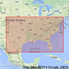
First used as formation of Austin group in central and north-central TX in Ouachita tectonic belt province. Apparently attributed to Durham (1957, unpublished). No type locality designated, and derivation of name not given. According to Durham, Hutchins overlies Bruceville chalk-marl (new) both north and south of erosion area near Waco, TX. Is apparently absent at Waco due to erosion. Intertongues with Jonah limestone (new) south of Temple, TX. At Dallas, is equivalent to the upper chalk member of Dallas Geological Society. Age is Austinian (Late Cretaceous).
Source: GNU records (USGS DDS-6; Denver GNULEX).
For more information, please contact Nancy Stamm, Geologic Names Committee Secretary.
Asterisk (*) indicates published by U.S. Geological Survey authors.
"No current usage" (†) implies that a name has been abandoned or has fallen into disuse. Former usage and, if known, replacement name given in parentheses ( ).
Slash (/) indicates name conflicts with nomenclatural guidelines (CSN, 1933; ACSN, 1961, 1970; NACSN, 1983, 2005, 2021). May be explained within brackets ([ ]).

