The National Geologic Map Database is migrating to a new infrastructure. We apologize for any service disruptions during this process.
|
|---|


- Usage in publication:
-
- Hurricane Bridge limestone*
- Modifications:
-
- Named
- Dominant lithology:
-
- Limestone
- AAPG geologic province:
-
- Appalachian basin
Summary:
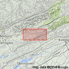
Named the Hurricane Bridge limestone for Hurricane Bridge, southwest of Jonesville, Lee Co., VA. Consists of cryptocrystalline tan and gray thin-bedded limestone with prominent zones of massive-bedded cryptocrystalline birdseye limestone and zones of buff- and red-weathering argillaceous shaly limestone. Thickness is 288 to 368 feet. Unit overlies the Martin Creek limestone and underlies the Woodway limestone. The Hurricane Bridge limestone is of Middle Ordovician age.
Source: GNU records (USGS DDS-6; Reston GNULEX).
- Usage in publication:
-
- Hurricane Bridge limestone*
- Modifications:
-
- Principal reference
- AAPG geologic province:
-
- Appalachian basin
Summary:
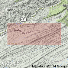
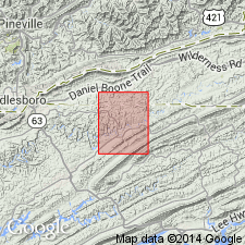
Designated the type locality and type section of the Hurricane Bridge limestone. The type locality is in the vicinity of Hurricane Bridge and Hurricane Chapel on Powell River, 2-1/2 miles southwest of Jonesville, Lee Co., VA and the type section is along State Route 70 north of Sewell Bridge, Lee Co., VA.
Source: GNU records (USGS DDS-6; Reston GNULEX).
- Usage in publication:
-
- Hurricane Bridge Limestone*
- Modifications:
-
- Areal extent
- AAPG geologic province:
-
- Appalachian basin
Summary:
Geographically extended the Hurricane Bridge Limestone to TN. Consists of alternating units of light-olive gray thin-bedded calcilutite, grayish-red argillaceous calcilutite and, light-olive gray thick-bedded calcilutite. Thickness is 320 feet. Unit overlies the Martin Creek Limestone and underlies the Woodway Limestone. The Hurricane Bridge is of Middle Ordovician age.
Source: GNU records (USGS DDS-6; Reston GNULEX).
For more information, please contact Nancy Stamm, Geologic Names Committee Secretary.
Asterisk (*) indicates published by U.S. Geological Survey authors.
"No current usage" (†) implies that a name has been abandoned or has fallen into disuse. Former usage and, if known, replacement name given in parentheses ( ).
Slash (/) indicates name conflicts with nomenclatural guidelines (CSN, 1933; ACSN, 1961, 1970; NACSN, 1983, 2005, 2021). May be explained within brackets ([ ]).