- Usage in publication:
-
- Hunters Point Member
- Modifications:
-
- Named
- Dominant lithology:
-
- Sandstone
- AAPG geologic province:
-
- Black Mesa basin
Summary:
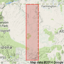
Name applied to sandstone assigned to the lower member of five members of De Chelly [sic] Sandstone. Was called lower member of De Chelly in earlier reports. Named for Hunters Point, its type section, Apache Co, Black Mesa basin. Is well exposed at Bonito Canyon (227 feet thick), Buell Park, Oak Springs Cliffs (174 feet thick), Hunters Point (238 feet thick), and in parts of Canyon de Chelly (202 feet thick). [Description of sandstone not given.] Cross-stratification, channels, and ripple marks in the sandstone suggest water origin. Gradationally overlies Supai Formation. Underlies Oak Springs Cliffs Member (new) of De Chelly. Permian age.
Source: GNU records (USGS DDS-6; Denver GNULEX).
For more information, please contact Nancy Stamm, Geologic Names Committee Secretary.
Asterisk (*) indicates published by U.S. Geological Survey authors.
"No current usage" (†) implies that a name has been abandoned or has fallen into disuse. Former usage and, if known, replacement name given in parentheses ( ).
Slash (/) indicates name conflicts with nomenclatural guidelines (CSN, 1933; ACSN, 1961, 1970; NACSN, 1983, 2005, 2021). May be explained within brackets ([ ]).

