

- Usage in publication:
-
- Howson andesite*
- Modifications:
-
- Named
- Dominant lithology:
-
- Andesite
- AAPG geologic province:
-
- Cascades province
Summary:
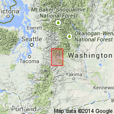
Unit is named the Howson andesite. [Probably] named for two exposures on Howson Creek, Kittitas Co., WA. Consists of hornblende andesite. Unconformably overlies the Swauk sandstone (new). Age is Pliocene(?) based on stratigraphic relationships.
Source: GNU records (USGS DDS-6; Menlo GNULEX).
- Usage in publication:
-
- Howson Andesite*
- Modifications:
-
- Age modified
- Areal extent
- AAPG geologic province:
-
- Cascades province
Summary:
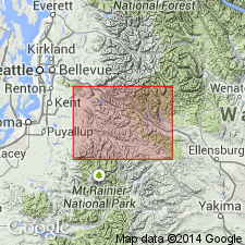
Howson Andesite is geographically extended into the report area. Age is modified from Pliocene(?) to: Miocene.
Source: GNU records (USGS DDS-6; Menlo GNULEX).
For more information, please contact Nancy Stamm, Geologic Names Committee Secretary.
Asterisk (*) indicates published by U.S. Geological Survey authors.
"No current usage" (†) implies that a name has been abandoned or has fallen into disuse. Former usage and, if known, replacement name given in parentheses ( ).
Slash (/) indicates name conflicts with nomenclatural guidelines (CSN, 1933; ACSN, 1961, 1970; NACSN, 1983, 2005, 2021). May be explained within brackets ([ ]).