

- Usage in publication:
-
- Hospital porphyry*
- Modifications:
-
- Named
- Dominant lithology:
-
- Porphyry
- AAPG geologic province:
-
- Basin-and-Range province
Summary:
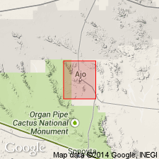
Named for exposures on hill west of Phelps Dodge Hospital at Ajo, T12N, R6W, Pima Co, AZ in the Basin-and-Range province. No type locality designated. Forms a group of north northwest-trending parallel dikes southeast of Ajo between Ajo and Black Mountain. Geologic maps. The dikes readily decompose and weather as depressions. The dikes range in thickness from a few ft to 125 ft, and extend from a few hundred ft to 2,500 ft long. The porphyry is dark gray and fine grained. Its only distinguishable mineral is glassy plagioclase in rounded phenocrysts as much as 2 cm long. Microphenocrysts of augite, a few biotite flakes, and small crystals of orthoclase and plagioclase make up the groundmass. Is the youngest intrusive in the area. Is younger than the Cornelia quartz monzonite. Assigned a Tertiary age.
Source: GNU records (USGS DDS-6; Denver GNULEX).
For more information, please contact Nancy Stamm, Geologic Names Committee Secretary.
Asterisk (*) indicates published by U.S. Geological Survey authors.
"No current usage" (†) implies that a name has been abandoned or has fallen into disuse. Former usage and, if known, replacement name given in parentheses ( ).
Slash (/) indicates name conflicts with nomenclatural guidelines (CSN, 1933; ACSN, 1961, 1970; NACSN, 1983, 2005, 2021). May be explained within brackets ([ ]).