The National Geologic Map Database is migrating to a new infrastructure. We apologize for any service disruptions during this process.
|
|---|


- Usage in publication:
-
- Horseshoe Formation
- Modifications:
-
- Named
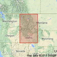
- AAPG geologic province:
-
- Idaho Mountains province
Summary:
Unit is named the Horseshoe Formation. Consists of Brown, gray, and green sandstone, shale, and coal. In the western coal belt, informal subdivisions include twelve named coal beds and Brown Bear leader sandstone, the lowest massive sandstone bed. Contains a persistent fossil (mollusk fragments) bed. Thickness ranges from 340 to 400 m. Gradationally overlies the Bacon Ridge Formation; underlies an unnamed unit. Age is Late Cretaceous.
Source: GNU records (USGS DDS-6; Menlo GNULEX).
For more information, please contact Nancy Stamm, Geologic Names Committee Secretary.
Asterisk (*) indicates published by U.S. Geological Survey authors.
"No current usage" (†) implies that a name has been abandoned or has fallen into disuse. Former usage and, if known, replacement name given in parentheses ( ).
Slash (/) indicates name conflicts with nomenclatural guidelines (CSN, 1933; ACSN, 1961, 1970; NACSN, 1983, 2005, 2021). May be explained within brackets ([ ]).