- Usage in publication:
-
- Horsehead tongue
- Modifications:
-
- Original reference
- Dominant lithology:
-
- Shale
- AAPG geologic province:
-
- San Juan basin
Summary:
Pg. 9, 11, 13, 35, pl. 12. Horsehead tongue of Mancos shale. Dark-gray marine shale. Thickness 40 feet in area of typical exposures and thins southward, and assumed to pinch out in that direction. Underlies lower part of Gallup member of Mesaverde and overlies Atarque member (new) of Mesaverde formation. Age is Late Cretaceous (mid-Carlile).
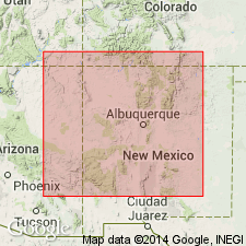
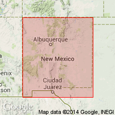
Named from typical exposures on east side of valley of Horsehead Creek, in T. 9 and 10 N., R. 17 W., Zuni Indian Reservation, McKinley Co., northwestern NM.
Source: US geologic names lexicon (USGS Bull. 1200, p. 1808).

- Usage in publication:
-
- Horsehead Tongue*†
- Modifications:
-
- Abandoned
Summary:
A Late Cretaceous term, a member of the Mancos Shale, abandoned. As defined by Pike (1947), was thought to occur below the Pescado Tongue of the Mancos and above the Atarque Member of the Mesaverde Formation. Molenaar concluded it is a nonmarine, paludal shale in the Atarque or in the marine Pescado. None of Pike's measured sections included both Pescado and Horsehead. Fossils collected from Horsehead now known to be from the Pescado.
Source: GNU records (USGS DDS-6; Denver GNULEX).
For more information, please contact Nancy Stamm, Geologic Names Committee Secretary.
Asterisk (*) indicates published by U.S. Geological Survey authors.
"No current usage" (†) implies that a name has been abandoned or has fallen into disuse. Former usage and, if known, replacement name given in parentheses ( ).
Slash (/) indicates name conflicts with nomenclatural guidelines (CSN, 1933; ACSN, 1961, 1970; NACSN, 1983, 2005, 2021). May be explained within brackets ([ ]).

