

- Usage in publication:
-
- Hornsilver dolomite member*
- Modifications:
-
- Original reference
- Dominant lithology:
-
- Dolomite
- AAPG geologic province:
-
- Eagle basin
Summary:
Pg. 152 (table 1), 199, 216-217. Hornsilver dolomite member of Minturn formation. Massive gray dolomite 12 to 16 feet thick overlain by 8 to 14 feet of thin-bedded gray dolomite. About 2,900 feet above base of formation. Lies about 800 feet below base of Resolution dolomite member (new); about 300 feet above Wearyman dolomite member (new). Age is Pennsylvanian.
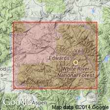
Named from exposures on south slope of Hornsilver Mountain, Pando area, Eagle Co., northwestern CO.
Source: US geologic names lexicon (USGS Bull. 1200, p. 1806).
For more information, please contact Nancy Stamm, Geologic Names Committee Secretary.
Asterisk (*) indicates published by U.S. Geological Survey authors.
"No current usage" (†) implies that a name has been abandoned or has fallen into disuse. Former usage and, if known, replacement name given in parentheses ( ).
Slash (/) indicates name conflicts with nomenclatural guidelines (CSN, 1933; ACSN, 1961, 1970; NACSN, 1983, 2005, 2021). May be explained within brackets ([ ]).