- Usage in publication:
-
- Hopkinton limestone
- Modifications:
-
- Named
- Dominant lithology:
-
- Limestone
- Dolomite
- AAPG geologic province:
-
- Iowa shelf
Summary:
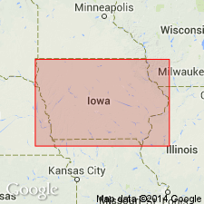
Name Hopkinton limestone introduced to replace Delaware limestone (preoccupied). Unit consists of dolomite, 220 ft thick and locally very fossiliferous. Constitutes lower phase of western Niagara. Includes zones between base of Niagara and top of PENTAMERUS-bearing beds. [The USGS continued to use the name Niagara dolomite for several more years.]
Source: GNU records (USGS DDS-6; Reston GNULEX).

- Usage in publication:
-
- Hopkinton Formation
- Modifications:
-
- Areal extent
- Overview
- AAPG geologic province:
-
- Iowa shelf
Summary:
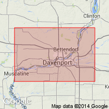
According to author, one of his primary aims in this report is to strongly encourage adoption of IA nomenclature in adjacent IL. The only major change would be the incorporation of the Sweeney and Marcus as members within the Hopkinton and replacement of the Racine with upper members of the Hopkinton, the Scotch Grove Formation, and the Gower Formation. The Hopkinton in the Quad Cities area of IA and IL is divided into (ascending) Sweeney, Marcus, Farmers Creek, and Picture Rock Members. The formation includes cherty dolomite in the lower half, with non-cherty to slightly cherty dolomite in the upper half. Thickness generally 70 to 90 ft. Overlies Blanding Formation; underlies the Johns Creek Quarry Member of the Scotch Grove Formation. Age is Llandoverian (mid Aeronian to mid Telychian).
Source: GNU records (USGS DDS-6; Reston GNULEX).
For more information, please contact Nancy Stamm, Geologic Names Committee Secretary.
Asterisk (*) indicates published by U.S. Geological Survey authors.
"No current usage" (†) implies that a name has been abandoned or has fallen into disuse. Former usage and, if known, replacement name given in parentheses ( ).
Slash (/) indicates name conflicts with nomenclatural guidelines (CSN, 1933; ACSN, 1961, 1970; NACSN, 1983, 2005, 2021). May be explained within brackets ([ ]).

