The National Geologic Map Database is migrating to a new infrastructure. We apologize for any service disruptions during this process.
|
|---|


- Usage in publication:
-
- Honomanu volcanic series*
- Modifications:
-
- Named
- Dominant lithology:
-
- Basalt
- AAPG geologic province:
-
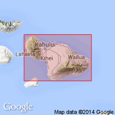
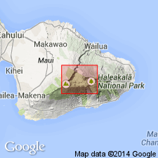
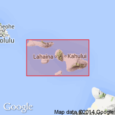
- Maui
Summary:
Named for exposures at type locality on northeast slope in Honomanu Valley [20 deg 51' 51"N, 156 deg 10' 11"W, Keanae 7.5' quad] east part of Island of Maui. Forms lower 950 ft of cliff. Also exposed in Maliko Gulch, Kipahulu Valley and Manawainui Canyon. Believed to constitute most of mountain from level of sea floor to about 8500 ft above sea level. Stratigraphic section on west side of Honomanu Gulch is 270.5 ft thick. Composed of light-gray to dark-blue gray vesicular aa and pahoehoe flows with abundant phenocrysts of olivine and feldspar. Tuff and breccia deposits also present. Transitional into overlying Kula volcanic series (new). Unconformably underlies Hana volcanic series and Pleistocene and Recent sedimentary deposits. Believed in part to be correlative with Wailuku volcanic series. Map shows probably Pliocene and early and middle Pleistocene age.
Source: GNU records (USGS DDS-6; Menlo GNULEX).
- Usage in publication:
-
- Honomanu volcanic series*
- Modifications:
-
- Age modified
- AAPG geologic province:
-
- Maui
Summary:
Believed to be at least in part correlative with Wailuku volcanic series in west Maui and Pololu and Ninole volcanic series on Island of Hawaii. Assigned late Tertiary(?) age.
Source: GNU records (USGS DDS-6; Menlo GNULEX).
- Usage in publication:
-
- Honomanu Formation*
- Modifications:
-
- Areal extent
- Revised
- AAPG geologic province:
-
- Maui
Summary:
"Honomanu Volcano Series" (Stearns, 1942) reduced in rank and redesignated "Honomanu Formation" in accordance with Code. Rocks in lower part of wall of Haleakala Crater are reassigned to Kumuiliahi Formation (new) because the earlier "correlation now appears doubtful." (p.1) "Farther west in the crater wall, lavas previously mapped as Honomanu (Stearns and Macdonald, 1942, pl.1) are heavier bedded closer to typical Kula flows ... On this map, they are shown as part of the Kula Formation" (p. 5)
Source: GNU records (USGS DDS-6; Menlo GNULEX).
- Usage in publication:
-
- Honomanu Volcanic Series*
- Modifications:
-
- Geochronologic dating
- AAPG geologic province:
-
- Maui
Summary:
K-Ar age for pahoehoe sample from type section of Honomanu Volcanic Series at Honomanu Gulch gave 0.83 +/-0.17 Ma. K-Ar ages for samples of Honomanu(?) from crater ranged from 0.70 +/-0.03 to 0.91 +/-0.07 Ma. K-Ar ages for samples of Honomanu(?) from Manawinui Canyon ranged from 0.78 +/-0.10 to 0.54 +/-0.13 Ma.
Source: GNU records (USGS DDS-6; Menlo GNULEX).

- Usage in publication:
-
- Honomanu Basalt*
- Modifications:
-
- Redescribed
- AAPG geologic province:
-
- Maui
Summary:
Honomanu Formation (Macdonald, 1978) renamed Honomanu Basalt since it consists entirely of tholeiitic basalt. Assigned Pleistocene age based on K-Ar determinations.
Source: GNU records (USGS DDS-6; Menlo GNULEX).
For more information, please contact Nancy Stamm, Geologic Names Committee Secretary.
Asterisk (*) indicates published by U.S. Geological Survey authors.
"No current usage" (†) implies that a name has been abandoned or has fallen into disuse. Former usage and, if known, replacement name given in parentheses ( ).
Slash (/) indicates name conflicts with nomenclatural guidelines (CSN, 1933; ACSN, 1961, 1970; NACSN, 1983, 2005, 2021). May be explained within brackets ([ ]).