- Usage in publication:
-
- Honey Creek Member
- Modifications:
-
- Original reference
- AAPG geologic province:
-
- Llano uplift
Summary:
Pg. 2870. Honey Creek Member of Packsaddle Formation. Basal member of formation. Underlies Sandy Creek Member (new). Age is Precambrian.
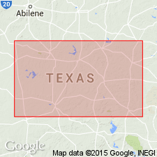
Recognized in southeastern Llano uplift, central TX.
Source: US geologic names lexicon (USGS Bull. 1350, p. 341).

- Usage in publication:
-
- Honey Formation
- Modifications:
-
- Principal reference
- Revised
- Dominant lithology:
-
- Schist
- Calc-silicate
- Marble
- Leptite
- AAPG geologic province:
-
- Llano uplift
Summary:
Pg. 8-9, pl. 1. Honey Formation of Packsaddle Group of Llano Supergroup. Lowest formation of the Packsaddle. Consists of marble, calc-silicate rock, and graphite schist; basal part of formation, exposed northwest of Packsaddle Mountain in Cap Mountain quadrangle, is mostly leptite. Thickness 8,290 feet (2,530 m). Overlies, with gradational contact (100+ feet, 30+ m), the Valley Spring Gneiss of Llano Supergroup; contact placed at base of first hornblende schist of the Honey Formation. Underlies Sandy Formation of the Packsaddle. Age is Precambrian. Originally called Honey Creek (preoccupied).
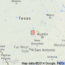
Type locality [composite]: lower part, in Honey Creek, northwest of Packsaddle Mountain, Cap Mountain quadrangle, Llano Co., central TX; upper part, along Sandy Creek from TX Highway 71 bridge to creek's mouth, Dunman Mountain quadrangle, Llano Co., central TX.
Source: Publication; US geologic names lexicon (USGS Bull. 1564, p. 76).

- Usage in publication:
-
- Honey Formation
- Modifications:
-
- Mapped 1:500k
- AAPG geologic province:
-
- Llano uplift
Summary:
Honey Formation of Packsaddle Schist [Honey Formation of Packsaddle Group]. Age is Precambrian.
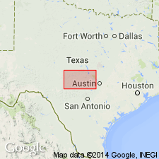
Notable exposures in Llano Co., central TX, south of confluence of the Llano and Colorado Rivers.
[The Honey Formation of Packsaddle Schist is an invalid hierarchy. Formations cannot include other formations (CSN, 1933; ACSN, 1961, 1970; NACSN, 1983, 2005, 2021).].
Source: Publication.
For more information, please contact Nancy Stamm, Geologic Names Committee Secretary.
Asterisk (*) indicates published by U.S. Geological Survey authors.
"No current usage" (†) implies that a name has been abandoned or has fallen into disuse. Former usage and, if known, replacement name given in parentheses ( ).
Slash (/) indicates name conflicts with nomenclatural guidelines (CSN, 1933; ACSN, 1961, 1970; NACSN, 1983, 2005, 2021). May be explained within brackets ([ ]).

