The National Geologic Map Database is migrating to a new infrastructure. We apologize for any service disruptions during this process.
|
|---|


- Usage in publication:
-
- Homestake limestone*
- Modifications:
-
- First used
- Dominant lithology:
-
- Limestone
- AAPG geologic province:
-
- Great Basin province
Summary:
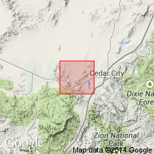
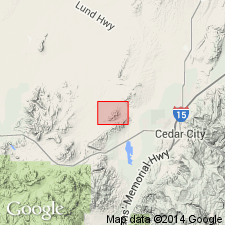
First published use of name. Intent to name, source of geographic name [probably the Homestake Mine], and designation of a type not stated. Consists of bluish-gray, dense limestone. Under the microscope, the limestone is made up of minute grains of calcite with scattered grains of pyrite, magnetite, and chert. Is generally thin-bedded. Crops out in and around andesite laccolith areas. Geologic maps. Is altered and locally replaced by iron ore and vitrified, silicated, and kaolinized in a band where erosion surface is nearly parallel to the limestone-andesite contact. The altered phases are hard to distinguish from fractured quartzite or clayey sandstone. Fossils (pelecypods--one with a range of Silurian to Triassic and one a Carboniferous genus). Ranges from 50 to 500 ft thick. Unconformably overlain by Pinto sandstone (first used). Intruded by laccoliths. Mapped in the northeast and west-central parts of the quad, Iron Co, UT in the Great Basin province. Assigned to the Carboniferous.
Source: GNU records (USGS DDS-6; Denver GNULEX).
- Usage in publication:
-
- Homestake limestone member*
- Modifications:
-
- Revised
- AAPG geologic province:
-
- Great Basin province
Summary:
The Homestake as understood by Leith and Harder (1908) was separable into limestone and altered limestone. Microscopic study of the altered limestone proves that it is actually siliceous siltstone that has been hornfelsed. The Homestake of Leith and Harder consisted of two distinct units--siltstone at base and a limestone that made up most of it. The hornfelsed siltstone is thought to be equivalent to the middle shale-siltstone of the Carmel, is removed from the Homestake in report area and assigned as the siltstone member of the Carmel. The name Homestake limestone member is applied to the overlying unaltered limestone. The Homestake is chiefly gray, blue, black, massive to thick-bedded limestone 220 to 250 ft thick in the Granite Mountain area. The upper 5 to 10 ft is light-gray, thin-bedded, argillaceous limestone. Geologic map; mapped at south side of Three Peaks intrusion at northeast corner of map, along east and north side of Granite Mountain in central part of map, and south of Desert Mound arch at southwest part of map, Iron Co, UT, Great Basin province. Of Jurassic age.
Source: GNU records (USGS DDS-6; Denver GNULEX).
For more information, please contact Nancy Stamm, Geologic Names Committee Secretary.
Asterisk (*) indicates published by U.S. Geological Survey authors.
"No current usage" (†) implies that a name has been abandoned or has fallen into disuse. Former usage and, if known, replacement name given in parentheses ( ).
Slash (/) indicates name conflicts with nomenclatural guidelines (CSN, 1933; ACSN, 1961, 1970; NACSN, 1983, 2005, 2021). May be explained within brackets ([ ]).