- Usage in publication:
-
- Holyoke diabase*
- Modifications:
-
- Named
- Dominant lithology:
-
- Basalt
- AAPG geologic province:
-
- New England province
- Hartford basin
Summary:
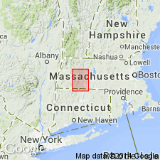
Holyoke diabase, dark gray, dense, fine-grained trap rock of uniform character, extends from the east side of the Holyoke quadrangle to the apex of Mt. Tom in Massachusetts and continues south into Connecticut. It includes the Deerfield sheet, a trap bed north of Sunderland.
Source: GNU records (USGS DDS-6; Reston GNULEX).
- Usage in publication:
-
- Holyoke basalt*
- Modifications:
-
- Revised
- AAPG geologic province:
-
- New England province
- Hartford basin
Summary:
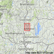
The Deerfield trap sheet is here removed from the Holyoke diabase and is revised as the Deerfield diabase. There is no evidence that the Holyoke and Deerfield diabases came from a common conduit or were contemporaneous.
Source: GNU records (USGS DDS-6; Reston GNULEX).
- Usage in publication:
-
- Holyoke basalt
- Modifications:
-
- Revised
- AAPG geologic province:
-
- Hartford basin
- New England province
Summary:
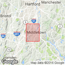
Holyoke basalt of the Newark group is used in this report. It conformably overlies the Shuttle Meadow formation and conformably underlies the East Berlin formation.
Source: GNU records (USGS DDS-6; Reston GNULEX).
- Usage in publication:
-
- Holyoke lava member
- Modifications:
-
- Revised
- AAPG geologic province:
-
- Hartford basin
- New England province
Summary:
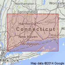
The middle lava flow of the Meriden formation of Krynine (1950) is here named the Holyoke lava member of the Meriden. It lies between the lower and upper sedimentary members of the Meriden. Age is Late Triassic.
Source: GNU records (USGS DDS-6; Reston GNULEX).
- Usage in publication:
-
- Holyoke Basalt
- Modifications:
-
- Revised
- AAPG geologic province:
-
- New England province
- Hartford basin
Summary:
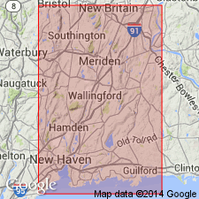
Holyoke Basalt is here assigned to the Meriden Group in CT.
Source: GNU records (USGS DDS-6; Reston GNULEX).
- Usage in publication:
-
- Holyoke Basalt
- Modifications:
-
- Biostratigraphic dating
- AAPG geologic province:
-
- Hartford basin
- New England province
Summary:
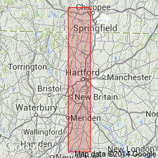
Palynoflora studies suggest a basal Liassic or possibly late Rhaetic age for the Shuttle Meadow Formation and a Liassic or Sinemurian age for the Portland Formation. These units are stratigraphically separated by at least 2,500 ft (750 m) of sediment and basalt flows, including the Holyoke Basalt, East Berlin Formation, and Hampden Basalt. Age is Early Jurassic.
Source: GNU records (USGS DDS-6; Reston GNULEX).

- Usage in publication:
-
- Holyoke Basalt*
- Modifications:
-
- Overview
- AAPG geologic province:
-
- New England province
Summary:
Used as Holyoke Basalt of Early Jurassic age. Consists of thick, columnar quartz tholeiite containing local gabbroic segregations; thins eastward; interpreted as one or more thick, ponded lava flows.
Source: GNU records (USGS DDS-6; Reston GNULEX).
- Usage in publication:
-
- Holyoke Basalt*
- Modifications:
-
- Revised
- AAPG geologic province:
-
- New England province
- Hartford basin
- Pomperaug basin
Summary:
Assigned to Newark Supergroup.
Source: GNU records (USGS DDS-6; Reston GNULEX).
- Usage in publication:
-
- Holyoke Basalt*
- Modifications:
-
- Overview
- AAPG geologic province:
-
- Hartford basin
- Pomperaug basin
- New England province
Summary:
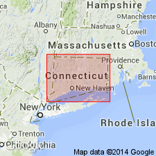
Holyoke Basalt of the Newark Supergroup is mapped in the Hartford and Pomperaug basins in CT.
Source: GNU records (USGS DDS-6; Reston GNULEX).
For more information, please contact Nancy Stamm, Geologic Names Committee Secretary.
Asterisk (*) indicates published by U.S. Geological Survey authors.
"No current usage" (†) implies that a name has been abandoned or has fallen into disuse. Former usage and, if known, replacement name given in parentheses ( ).
Slash (/) indicates name conflicts with nomenclatural guidelines (CSN, 1933; ACSN, 1961, 1970; NACSN, 1983, 2005, 2021). May be explained within brackets ([ ]).

