The National Geologic Map Database is migrating to a new infrastructure. We apologize for any service disruptions during this process.
|
|---|


- Usage in publication:
-
- Holts Summit formation
- Modifications:
-
- Original reference
- Dominant lithology:
-
- Sandstone
- Shale
- AAPG geologic province:
-
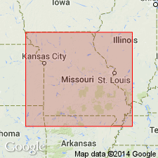
- Ozark uplift
Summary:
Pg. 78-80. Alternating beds of sandstone and arenaceous shale. Average thickness about 4 feet with maximum not more than 8 or 10 feet. Unconformably overlies Snyder Creek or Callaway; unconformably underlies Massie Creek formation (new). Age is Late Devonian.
Type locality: in NE/4 SE/4 SE/4 sec. 11, T. 45 N., R. 11 W., on major branch of Clifton Creek about 2.5 mi northwest of Holts Summit, Callaway Co., central MO.
Source: US geologic names lexicon (USGS Bull. 1200, p. 1789).
For more information, please contact Nancy Stamm, Geologic Names Committee Secretary.
Asterisk (*) indicates published by U.S. Geological Survey authors.
"No current usage" (†) implies that a name has been abandoned or has fallen into disuse. Former usage and, if known, replacement name given in parentheses ( ).
Slash (/) indicates name conflicts with nomenclatural guidelines (CSN, 1933; ACSN, 1961, 1970; NACSN, 1983, 2005, 2021). May be explained within brackets ([ ]).