- Usage in publication:
-
- Holston marble*
- Modifications:
-
- Named
- Dominant lithology:
-
- Marble
- AAPG geologic province:
-
- Appalachian basin
Summary:
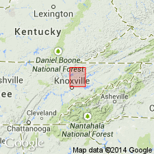
Named the Holston marble for the Holston River in TN. Marble beds in the same stratigraphic position as the lower part of the Chickamauga formation are called Holston marble on account of its distinctive appearance and economic importance. Color of the Holston varies from red, brown, gray and pink, but is mostly dark bluish gray and variegated reddish brown or chocolate. Thickness is 600 to 650 feet at Clinch Mountain, and thins in all directions. Unit is probably a lentil in the Chickamauga. The Holston is of Middle Ordovician age.
Source: GNU records (USGS DDS-6; Reston GNULEX).

- Usage in publication:
-
- Holston marble
- Modifications:
-
- Not used
- AAPG geologic province:
-
- Appalachian basin
Summary:
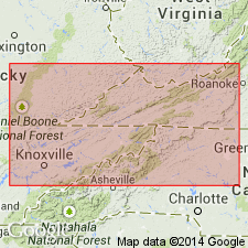
Pg. 1156, 1182. "Holston" marble. Discussion of lower Middle Ordovician of southwest Virginia and northeast Tennessee. Measured sections compared with revised classification of Tazewell County, Virginia. Holston should be discontinued as definite formational name. "Holston'' marble of Knoxville area is renamed Farragut limestone.
Source: US geologic names lexicon (USGS Bull. 1200, p. 1786-1788).

- Usage in publication:
-
- Holston marble
- Modifications:
-
- Areal extent
- AAPG geologic province:
-
- Appalachian basin
Summary:
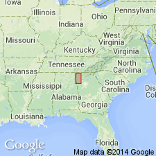
Geographically extended the Holston marble into GA. Occurs only in a narrow belt just east of State Highway 71 to within 6 miles north of Dalton. Thickness is 50 to 100 feet. Unit overlies the Lenoir limestone and underlies the Ottosee (Sevier) shale.
Source: GNU records (USGS DDS-6; Reston GNULEX).

- Usage in publication:
-
- Holston Limestone
- Modifications:
-
- Revised
- AAPG geologic province:
-
- Appalachian basin
Summary:
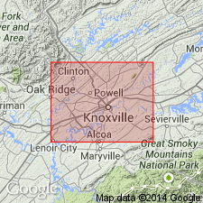
Revised the Holston to the Holston Limestone of the Chickamauga Group in eastern TN. Consists of gray, pink, and red, fine- to coarse-grained, thick-bedded, fossiliferous calcarenite with some interbeds of nodular gray limestone. Thickness is up to 525 feet. Unit overlies the Lenoir Limestone of the Chickamauga Group and underlies the Chapman Ridge (Tellico) Sandstone of the Chickamauga Group. The Holston is of Middle Ordovician age.
Source: GNU records (USGS DDS-6; Reston GNULEX).
For more information, please contact Nancy Stamm, Geologic Names Committee Secretary.
Asterisk (*) indicates published by U.S. Geological Survey authors.
"No current usage" (†) implies that a name has been abandoned or has fallen into disuse. Former usage and, if known, replacement name given in parentheses ( ).
Slash (/) indicates name conflicts with nomenclatural guidelines (CSN, 1933; ACSN, 1961, 1970; NACSN, 1983, 2005, 2021). May be explained within brackets ([ ]).

