The National Geologic Map Database is migrating to a new infrastructure. We apologize for any service disruptions during this process.
|
|---|


- Usage in publication:
-
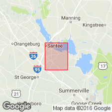
- Holly Hill member
- Modifications:
-
- Named
- Dominant lithology:
-
- Conglomerate
- Sand
- AAPG geologic province:
-
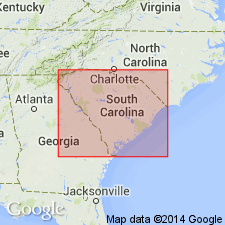
- Atlantic Coast basin
Summary:
Holly Hill member (new name) occurs near base of Okefenokee Formation, although lenses may be present at varying altitudes throughout the channel-like bodies. Two lithofacies commonly present. Conglomerates consisting of subangular to well-rounded, subspherical quartz pebbles with some sand are present immediately adjacent to Tertiary bedrock, but may occur as lenses and discontinuous beds anywhere within member. Major portion of member is moderately well-sorted to well-sorted orthoquartzitic, or subarkosic sand. Thickness as much as 30 ft in central channel areas but laterally much thinner away from this area. Eutawville member (new ) is in upper part of formation. Age considered post-late Miocene.
Source: GNU records (USGS DDS-6; Reston GNULEX).
- Usage in publication:
-
- Holly Hill Member
- Modifications:
-
- Age modified
- AAPG geologic province:
-
- Atlantic Coast basin
Summary:
Holly Hill Member of Okefenokee Formation. Okefenokee Formation shown on map legend as upper Miocene to Pleistocene(?). [Age of Holly Hill considered post-late Miocene.]
Source: US geologic names lexicon (USGS Bull. 1350, p. 338-339).
For more information, please contact Nancy Stamm, Geologic Names Committee Secretary.
Asterisk (*) indicates published by U.S. Geological Survey authors.
"No current usage" (†) implies that a name has been abandoned or has fallen into disuse. Former usage and, if known, replacement name given in parentheses ( ).
Slash (/) indicates name conflicts with nomenclatural guidelines (CSN, 1933; ACSN, 1961, 1970; NACSN, 1983, 2005, 2021). May be explained within brackets ([ ]).