

- Usage in publication:
-
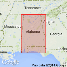
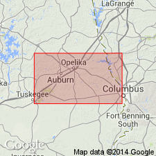
- Hollis quartzite
- Modifications:
-
- Named
- Dominant lithology:
-
- Quartzite
- AAPG geologic province:
-
- Piedmont-Blue Ridge province
Summary:
Named Hollis quartzite for Hollis, Lee Co., AL. Unit is a quartzite, in places having nature of quartz schists, exposed at and near Hollis and 10 miles to southwest. No fossils have been recorded. The unit is infolded in Archean rocks which warrants a tentative Algonkian age [Precambrian].
Source: GNU records (USGS DDS-6; Reston GNULEX).

- Usage in publication:
-
- Hollis Quartzite*
- Modifications:
-
- Revised
- AAPG geologic province:
-
- Piedmont-Blue Ridge province
Summary:
The Hollis Quartzite is assigned to the Pine Mountain Group in the Pine Mountain anticlinorium in the Bill Arp thrust sheet in northern GA. It overlies the Sparks Schist of the Wacoochee Complex in the Grenville basement, and underlies the Manchester Schist. Age is Late Proterozoic.
Source: GNU records (USGS DDS-6; Reston GNULEX).
- Usage in publication:
-
- Hollis Quartzite
- Modifications:
-
- Overview
- AAPG geologic province:
-
- Piedmont-Blue Ridge province
Summary:
Microstructures and quartz crystallographic fabric in the Hollis Quartzite of the Pine Mountain Group relate to a single, Alleghanian(?) stage of deformation accompanied by greenshcist-facies metamorphic conditions. This is consistent with the growing consensus that faults with histories of dextral, strike-slip displacement disrupted the eastern Piedmont during the Alleghanian Orogeny. Studies of metamorphism in the Pine Mountain window indicate that a wide range of conditions prevailed at different times. Radiometric ages indicate that amphibolite facies assemblages are a result of Acadian overthrusting, while relict granulite facies assemblages are a result of the Grenville Orogeny. The Late Proterozoic Pine Mountain Group has been related to the Ocoee Supergroup of TN, NC, and GA by Higgins and others, (1988.)
Source: GNU records (USGS DDS-6; Reston GNULEX).
- Usage in publication:
-
- Hollis Quartzite*
- Modifications:
-
- Overview
- Age modified
- AAPG geologic province:
-
- Piedmont-Blue Ridge province
Summary:
In the Pine Mountain belt (Pine Mountain window), Middle Proterozoic basement rocks are represented by Wacoochee Complex and its components, Whatley Mill Gneiss and Halawaka Schist. Overlying early Paleozoic cover sequence is represented by Pine Mountain Group, which consists of (ascending) Hollis Quartzite, Manchester Schist, and Chewacla Marble (Bentley and Neathery, 1970; Sears and others, 1981; and Crickmay, 1952). Report includes geologic sketch map.
Source: GNU records (USGS DDS-6; Reston GNULEX).
For more information, please contact Nancy Stamm, Geologic Names Committee Secretary.
Asterisk (*) indicates published by U.S. Geological Survey authors.
"No current usage" (†) implies that a name has been abandoned or has fallen into disuse. Former usage and, if known, replacement name given in parentheses ( ).
Slash (/) indicates name conflicts with nomenclatural guidelines (CSN, 1933; ACSN, 1961, 1970; NACSN, 1983, 2005, 2021). May be explained within brackets ([ ]).