The National Geologic Map Database is migrating to a new infrastructure. We apologize for any service disruptions during this process.
|
|---|


- Usage in publication:
-
- Hollenberg limestone member
- Modifications:
-
- Original reference
- Dominant lithology:
-
- Limestone
- AAPG geologic province:
-
- Salina basin
Summary:
Pg. 63-66. Hollenberg limestone member of Pearl shale of Sumner group (not exposed in Nebraska). Only a few feet of basal part of Pearl shale is exposed in Nebraska, but a short distance south of State line, as between Hollenberg and Hanover, Washington County, eastern Kansas, its lower shale and a limestone capping this shale are well shown, from which we have traced them southward to near Oklahoma line. A second limestone, 18 to 20 feet above the Hollenberg bed, outcrops at some places. The lower shale member of Pearl shale is 38 to 40 feet thick in northern Kansas and about 50 feet farther south in Kansas. The Hollenberg limestone is very persistent and a good horizon marker, 3 to 4 feet thick. It is a gray fossiliferous zone which forms large yellowish flat blocks. In places it is filled with foraminifers, ostracodes, and 3 genera of small gastropods. Age is Permian (Big Blue).
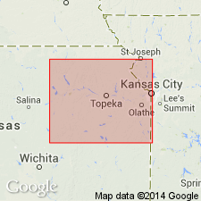
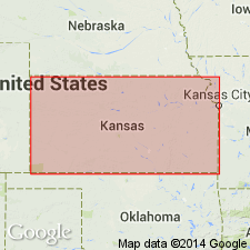
Named from exposures along the Little Blue River 3.5 mi southeast of Hollenberg, northeastern Washington Co., eastern KS.
Source: US geologic names lexicon (USGS Bull. 896, p. 969); GNC KS-NE Permian Corr. Chart, Oct. 1936; supplemental information from GNU records (USGS DDS-6; Denver GNULEX).
- Usage in publication:
-
- Holdrege limestone member
- Modifications:
-
- Revised
Summary:
Pg. 12. Hollenberg limestone member of Donegal limestone of Sumner group. Restricted Pearl shale to beds beneath this limestone, applied Newbern shale to beds overlying this limestone, and treated the limestone and his Newbern shale as lower part of Donegal limestone (new). Age is Permian.
Source: US geologic names lexicon (USGS Bull. 896, p. 969); GNC KS-NE Permian Corr. Chart, Oct. 1936).
- Usage in publication:
-
- Holdrege limestone member
- Modifications:
-
- Revised
Summary:
Pg. 40-41. Holdrege limestone member of Wellington formation of Sumner group. Included in Wellington formation. Age is Early Permian (Leonard).
Source: US geologic names lexicon (USGS Bull. 896, p. 969).
For more information, please contact Nancy Stamm, Geologic Names Committee Secretary.
Asterisk (*) indicates published by U.S. Geological Survey authors.
"No current usage" (†) implies that a name has been abandoned or has fallen into disuse. Former usage and, if known, replacement name given in parentheses ( ).
Slash (/) indicates name conflicts with nomenclatural guidelines (CSN, 1933; ACSN, 1961, 1970; NACSN, 1983, 2005, 2021). May be explained within brackets ([ ]).