

- Usage in publication:
-
- Holiknuk series*
- Modifications:
-
- Named
- Biostratigraphic dating
- Dominant lithology:
-
- Sandstone
- Limestone
- Shale
- Arkose
- Conglomerate
- AAPG geologic province:
-
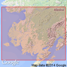
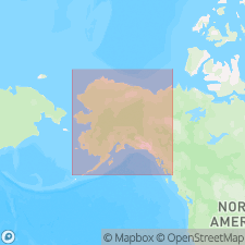
- Alaska Southwestern region
Summary:
[Apparently named for Holiknuk River (later called Holitna River) which flows into Kuskokwim River, southwestern AK.] Occurs from point 10 mi below Vinasale, along Holiknuk River as far as Kolmakof at which point boundary between Holiknuk series and Kolmakof series (new) has been chosen. Holiknuk consists of conglomerate at base and alternating beds of sandstone, argillaceous or siliceous limestone, shale, and arkose. Conglomerate contains pebbles apparently derived from unconformably underlying Tachatna series (new). Series cut by siliceous dikes. Age is given as Cretaceous based on imperfect specimens of genus INOCERAMUS of probable Cretaceous age and plant fragments considered to be younger than Jurassic age.
Source: GNU records (USGS DDS-6; Menlo GNULEX).
- Usage in publication:
-
- "Holiknuk series"†
- Modifications:
-
- Abandoned
- AAPG geologic province:
-
- Alaska Southwestern region
Martin, G.C., 1926, Mesozoic stratigraphy of Alaska: U.S. Geological Survey Bulletin, 776, 493 p.
Summary:
"Holiknuk series" of Spurr (1900) of Kuskokwim Valley are assigned to unnamed rocks of Late Cretaceous age [thus abandoning the name]. Rocks of series are considered the western continuation of Spurr's (1900) "Kolmakof series" [also abandoned in this report].
Source: GNU records (USGS DDS-6; Menlo GNULEX).
For more information, please contact Nancy Stamm, Geologic Names Committee Secretary.
Asterisk (*) indicates published by U.S. Geological Survey authors.
"No current usage" (†) implies that a name has been abandoned or has fallen into disuse. Former usage and, if known, replacement name given in parentheses ( ).
Slash (/) indicates name conflicts with nomenclatural guidelines (CSN, 1933; ACSN, 1961, 1970; NACSN, 1983, 2005, 2021). May be explained within brackets ([ ]).