

- Usage in publication:
-
- Holdenville shale*
- Modifications:
-
- Original reference
- Dominant lithology:
-
- Shale
- Limestone
- Sandstone
- AAPG geologic province:
-
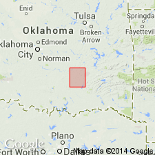
- Chautauqua platform
Summary:
Holdenville shale. Blue and yellow clay shale, with thin siliceous limestones and sandstones, 260 feet thick. Underlies Seminole conglomerate and overlies Wewoka formation. [Age is Pennsylvanian.]
Named from Holdenville, which is located on the shale, in Hughes Co., central OK.
Source: US geologic names lexicon (USGS Bull. 896, p. 968).
- Usage in publication:
-
- Holdenville formation
- Modifications:
-
- Revised
- AAPG geologic province:
-
- Chautauqua platform
- Arkoma basin
Summary:
Holdenville formation. In Pontotoc and Seminole Counties, central southern Oklahoma, includes (descending) Sasakwa limestone and Homer limestone members. Age is Pennsylvanian.
Source: US geologic names lexicon (USGS Bull. 896, Homer entry p. 973, Sasakwa entry p. 1930).
- Usage in publication:
-
- Holdenville shale
- Modifications:
-
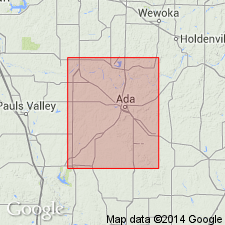
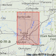
- Areal extent
- AAPG geologic province:
-
- Chautauqua platform
Summary:
Pg. 42-47, pl. 11. Holdenville shale. Memorial shale, by definition, extends upward from top of Lenapah limestone to base of Seminole formaiton, and, likewise, Holdenville shale extends upward from top of Wewoka to base of Seminole. As Lenapah has been traced into uppermost Wewoka, the Memorial and Holdenville lie between same stratigraphic limits and are equivalent. Holdenville has priority and is commonly used term. Thickness 40 to 200 feet in Tulsa County. Includes Sasakwa and Homer limestone [members]. In northern Oklahoma and in Kansas, unit occurs in thin ragged patches. Age is Middle Pennsylvanian (Des Moines).
Source: US geologic names lexicon (USGS Bull. 1200, p. 1779).
- Usage in publication:
-
- Holdenville formation
- Modifications:
-
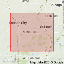
- Areal extent
Summary:
Pg. 14-16. Holdenville formation. Uppermost formation in Marmaton group. Lies between Lenapah formation and base of Hepler sandstone, basal Pleasanton, of Missouri series. Term Memorial, formerly applied to post-Lenapah, pre-Pleasanton beds in Missouri, has been dropped. Use of name Holdenville follows recent work by Oklahoma Geol. Survey. Formation in western Missouri is predominantly gray shale. Thickness 0 to at least 15 feet. Age is Middle Pennsylvanian (Des Moines).
Source: US geologic names lexicon (USGS Bull. 1200, p. 1779).
- Usage in publication:
-
- Holdenville shale*
- Modifications:
-
- Overview
Summary:
Holdenville shale of Marmaton group. Shown on chart at top of Marmaton group. Overlies Lenapah limestone; underlies Hepler sandstone. Age is Middle Pennsylvanian (Des Moines).
Source: US geologic names lexicon (USGS Bull. 1200, p. 1779).
For more information, please contact Nancy Stamm, Geologic Names Committee Secretary.
Asterisk (*) indicates published by U.S. Geological Survey authors.
"No current usage" (†) implies that a name has been abandoned or has fallen into disuse. Former usage and, if known, replacement name given in parentheses ( ).
Slash (/) indicates name conflicts with nomenclatural guidelines (CSN, 1933; ACSN, 1961, 1970; NACSN, 1983, 2005, 2021). May be explained within brackets ([ ]).