- Usage in publication:
-
- Hogan Creek Formation
- Modifications:
-
- Named
- Dominant lithology:
-
- Schist
- AAPG geologic province:
-
- Piedmont-Blue Ridge province
Summary:
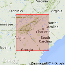
A sequence of metasedimentary rocks framing the Hanging Rock Mountain thrust complex in the Sauratown Mountains window is here named the Hogan Creek Formation for exposures along Hogan Creek, northwest of East Bend, NC. Consists of low- to medium-grade metamorphic rocks which have been multiply deformed and moved northwestward in the thrust sheet. Intruded by several small granitic bodies of the Crossnore plutonic series as well as some mafic and ultramafic bodies. Unit is separated from rocks of the Tallulah Falls or Ashe Formation by the Forbush thrust, the major fault between rocks of the Sauratown Mountain window and those of the Blue Ridge thrust sheet and Inner Piedmont. The Tallulah Falls-Ashe sequence differs from the Hogan Creek in the absence of aluminum silicate bearing pelitic schists in the former and the lesser quantities of mafic and ultramafic rocks in the latter. They may, however, be time equivalents--the [Late Proterozoic to early Paleozoic] Tallulah Falls-Ashe being the offshore equivalent of the Hogan Creek, as the presence of basement rocks in the Hogan Creek indicates a greater continental affinity.
Source: GNU records (USGS DDS-6; Reston GNULEX).

- Usage in publication:
-
- Hogan Creek Formation*
- Modifications:
-
- Overview
- AAPG geologic province:
-
- Piedmont-Blue Ridge province
Summary:
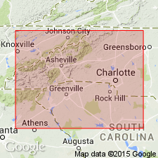
As defined, the Hogan Creek Formation includes parts of the Low-Water-Bridge Layered Gneiss of Bartholomew and Lewis (1984) and non-basement parts of the rocks designated "older" Precambrian by Rankin and others (1973). Unit is composed of muscovite-biotite gneiss (metagraywacke) interlayered with muscovite schist, biotite schist, biotite-hornblende-quartz-feldspar gneiss, granitic gneiss, amphibolite, marble, quartzite, and minor amounts of metamorphosed ultramafic rock. Differs from the Ashe Formation in that it has no aluminous schist facies, contains smaller amounts of amphibolite and metagabbro, and includes marble and more abundant quartzite. Contact with underlying Middle Proterozoic Miller Creek complex (informal) is nowhere exposed. In fault contact with Sauratown Formation (new name). Age shown as Late Proterozoic.
Source: GNU records (USGS DDS-6; Reston GNULEX).
For more information, please contact Nancy Stamm, Geologic Names Committee Secretary.
Asterisk (*) indicates published by U.S. Geological Survey authors.
"No current usage" (†) implies that a name has been abandoned or has fallen into disuse. Former usage and, if known, replacement name given in parentheses ( ).
Slash (/) indicates name conflicts with nomenclatural guidelines (CSN, 1933; ACSN, 1961, 1970; NACSN, 1983, 2005, 2021). May be explained within brackets ([ ]).

