

- Usage in publication:
-
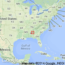
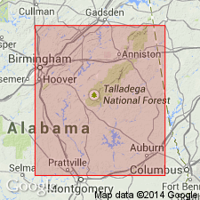
- Higgins Ferry Formation
- Modifications:
-
- Named
- Dominant lithology:
-
- Metagraywacke
- Schist
- Gneiss
- Quartzite
- AAPG geologic province:
-
- Piedmont-Blue Ridge province
Summary:
Higgins Ferry Formation of the Wedowee Group is here named for exposures along AL Hwy 22 in Coosa Co. and along Higgins Ferry Road in Chilton Co. Consists interbedded clastic sequence of metagraywacke, schist, gneiss, and quartzite. Age is Cambrian or older. [see p. 97, this vol: geochron age by G.S. Russell]
Source: GNU records (USGS DDS-6; Reston GNULEX).
- Usage in publication:
-
- Higgins Ferry Group
- Modifications:
-
- Revised
- AAPG geologic province:
-
- Piedmont-Blue Ridge province
Summary:
Author here proposes that Ashland Mica Schist as used by Adams (1926) be elevated to supergroup status to incorporate the groups of the Coosa block in east-central Alabama. Ashland includes Poe Bridge Mountain and Mad Indian Groups in the northeastern part of the study area (Clay, Randolph, and Cleburne Cos) and the correlative Higgins Ferry and Hatchet Creek Groups in the southwestern part (Coosa and Chilton Cos). The contact between the Mad Indian and Poe Bridge Mountain Groups and between the Higgins Ferry and Hatchet Creek Groups appears to be stratigraphic rather than tectonic, but relative age of units is undetermined.
Source: GNU records (USGS DDS-6; Reston GNULEX).
For more information, please contact Nancy Stamm, Geologic Names Committee Secretary.
Asterisk (*) indicates published by U.S. Geological Survey authors.
"No current usage" (†) implies that a name has been abandoned or has fallen into disuse. Former usage and, if known, replacement name given in parentheses ( ).
Slash (/) indicates name conflicts with nomenclatural guidelines (CSN, 1933; ACSN, 1961, 1970; NACSN, 1983, 2005, 2021). May be explained within brackets ([ ]).