- Usage in publication:
-
- Hiawatha member
- Modifications:
-
- Original reference
- AAPG geologic province:
-
- Green River basin
Summary:
Hiawatha member of Wasatch formation. In this paper Hiawatha member is assigned to Wasatch sediments lying below Tipton tongue formation, of Green River age, in Vermilion Creek gas area. Gray shales constitute predominating part of member, although there is also a minor amount of green to pink shale and considerable lignite and dark carbonaceous shale, particularly in highest 1,000 feet. A few interbedded layers of gray to buff sandstone are important as known and possible reservoirs for gas and perhaps oil. The sandstones are lenticular and range from a few inches to 20 or 30 feet in a few hundred feet. Thickness of member 4,100+/- feet. The gas-producing sands occur from 2,450 to 4,100 feet below Tipton tongue, and range from 3 to 45 feet in thickness. In general the Hiawatha beds are partly fluviatile and partly lacustrine.
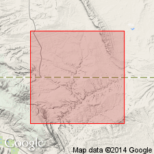
Named from development on Hiawatha and West Hiawatha domes, in T. 12 N., R. 100 and 101 W., Moffat Co., CO.
Source: US geologic names lexicon (USGS Bull. 896, p. 950).

- Usage in publication:
-
- Hiawatha member
- Modifications:
-
- Overview
- AAPG geologic province:
-
- Green River basin
Summary:
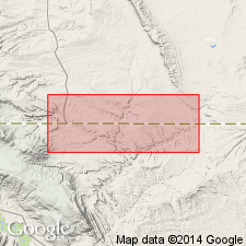
Hiawatha member of Wasatch formation is partly fresh water, partly fluviatile, and partly lacustrine. Thickness 4,054 feet.
Source: US geologic names lexicon (USGS Bull. 896, p. 950).

- Usage in publication:
-
- Hiawatha member
- Modifications:
-
- Revised
- AAPG geologic province:
-
- Green River basin
Summary:
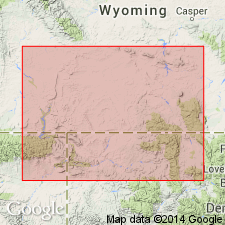
Name Knight formation extended from Bridger basin to include dominantly fluviatile Wasatchian deposits of Washakie basin. Hence, Hiawatha is considered member of Knight formation.
Source: US geologic names lexicon (USGS Bull. 1200, p. 1750).

- Usage in publication:
-
- Hiawatha member
- Modifications:
-
- Revised
- Areal extent
- AAPG geologic province:
-
- Uinta basin
Summary:
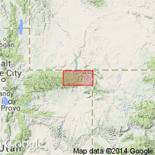
Pg. 40 (fig. 4), 41. Hiawatha member of Wasatch formation. Referred to as member of Wasatch. Geographically extended into Daggett County, Utah. Lower half, considered Paleocene, consists of drab claystone, shale, sandstone, coal, coaly shale, and conglomerate; upper half, considered Eocene, consists of varicolored claystone with minor amounts of coal, and coarse sandstone and conglomerate. Thickness as much as 3,500 feet. Underlies Tipton tongue of Green River formation; overlies Fort Union formation.
Source: US geologic names lexicon (USGS Bull. 1200, p. 1750).
For more information, please contact Nancy Stamm, Geologic Names Committee Secretary.
Asterisk (*) indicates published by U.S. Geological Survey authors.
"No current usage" (†) implies that a name has been abandoned or has fallen into disuse. Former usage and, if known, replacement name given in parentheses ( ).
Slash (/) indicates name conflicts with nomenclatural guidelines (CSN, 1933; ACSN, 1961, 1970; NACSN, 1983, 2005, 2021). May be explained within brackets ([ ]).

