The National Geologic Map Database is migrating to a new infrastructure. We apologize for any service disruptions during this process.
|
|---|


- Usage in publication:
-
- Hialeah Group
- Modifications:
-
- First used
- Dominant lithology:
-
- Marl
- Sand
- Coquina
- Limestone
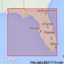
- AAPG geologic province:
-
- Florida platform
Summary:
Hialeah Group (DuBar, in press) is composed of the late Pleistocene Fort Thompson Formation, Anastasia Formation, Miami Limestone, and Key Largo Limestone. Formations intergrade and interfinger, especially in southeastern FL. Fort Thompson is further divided into the Okaloacoochee and Coffee Mill Hammock Members. Hialeah unconformably overlies the Port Charlotte Group (first used) and unconformably underlies the Lake Flirt Formation and correlative deposits.
Source: GNU records (USGS DDS-6; Reston GNULEX).
For more information, please contact Nancy Stamm, Geologic Names Committee Secretary.
Asterisk (*) indicates published by U.S. Geological Survey authors.
"No current usage" (†) implies that a name has been abandoned or has fallen into disuse. Former usage and, if known, replacement name given in parentheses ( ).
Slash (/) indicates name conflicts with nomenclatural guidelines (CSN, 1933; ACSN, 1961, 1970; NACSN, 1983, 2005, 2021). May be explained within brackets ([ ]).