- Usage in publication:
-
- Hess Canyon group
- Modifications:
-
- Named
- Dominant lithology:
-
- Quartzite
- Argillite
- Graywacke
- Arkose
- AAPG geologic province:
-
- Basin-and-Range province
Summary:
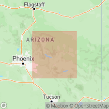
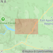
Sequence of older Precambrian volcanic and sedimentary rocks more than 15,000 ft thick occurs in Blackjack Mountains and White Ledges, 20 mi north of Globe, AZ. This sequence consists of (older to younger): Redmond formation (new) and Hess Canyon group (new). Hess Canyon group is subdivided into (ascending): White Ledges formation (new) (interbedded quartzites and argillaceous rocks), Yankee Joe formation (new) (argillaceous strata with some interbedded graywackes and arkoses), and Blackjack formation (new) (argillaceous quartzites). Group is unconformably overlain by younger Precambrian Apache Group. Intruded by Ruin Granite. Whole rock Rb-Sr age of 1510 +/-40 Ma was obtained for Redmond formation. Hess Canyon group can be correlated with Deadman Quartzite, Maverick Shale, Mazatzal Quartzite and Houden Formation of Diamond Butte quad, AZ.
Source: GNU records (USGS DDS-6; Menlo GNULEX).

- Usage in publication:
-
- Hess Canyon Group
- Modifications:
-
- Age modified
- AAPG geologic province:
-
- Basin-and-Range province
Summary:
Composite geologic column for Salt River region, AZ, shows Hess Canyon Group and its formations are Middle Proterozoic age. Formations of Hess Canyon Group shown on geologic sketch map of Corral Canyon area. White Ledges Formation (lowermost formation of Hess Canyon Group) is also shown on geologic sketch maps of Horseshoe Bend and Redmond Flat areas.
Source: GNU records (USGS DDS-6; Menlo GNULEX).
For more information, please contact Nancy Stamm, Geologic Names Committee Secretary.
Asterisk (*) indicates published by U.S. Geological Survey authors.
"No current usage" (†) implies that a name has been abandoned or has fallen into disuse. Former usage and, if known, replacement name given in parentheses ( ).
Slash (/) indicates name conflicts with nomenclatural guidelines (CSN, 1933; ACSN, 1961, 1970; NACSN, 1983, 2005, 2021). May be explained within brackets ([ ]).

