

- Usage in publication:
-
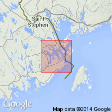
- Hersey red shale member*
- Modifications:
-
- Named
- Dominant lithology:
-
- Shale
- AAPG geologic province:
-
- New England province
Summary:
Named the Hersey red shale member of the Pembroke formation for exposures on Hersey Neck, Washington Co., ME. Consists of purplish red fossiliferous shale; includes some gray shale like that of Leighton member. Thickness is 2700 feet. The Hersey is the top member of the Pembroke formation and is separated from the older Leighton gray shale member by rhyolite tuff. Unit is of Late Silurian age.
Source: GNU records (USGS DDS-6; Reston GNULEX).
For more information, please contact Nancy Stamm, Geologic Names Committee Secretary.
Asterisk (*) indicates published by U.S. Geological Survey authors.
"No current usage" (†) implies that a name has been abandoned or has fallen into disuse. Former usage and, if known, replacement name given in parentheses ( ).
Slash (/) indicates name conflicts with nomenclatural guidelines (CSN, 1933; ACSN, 1961, 1970; NACSN, 1983, 2005, 2021). May be explained within brackets ([ ]).